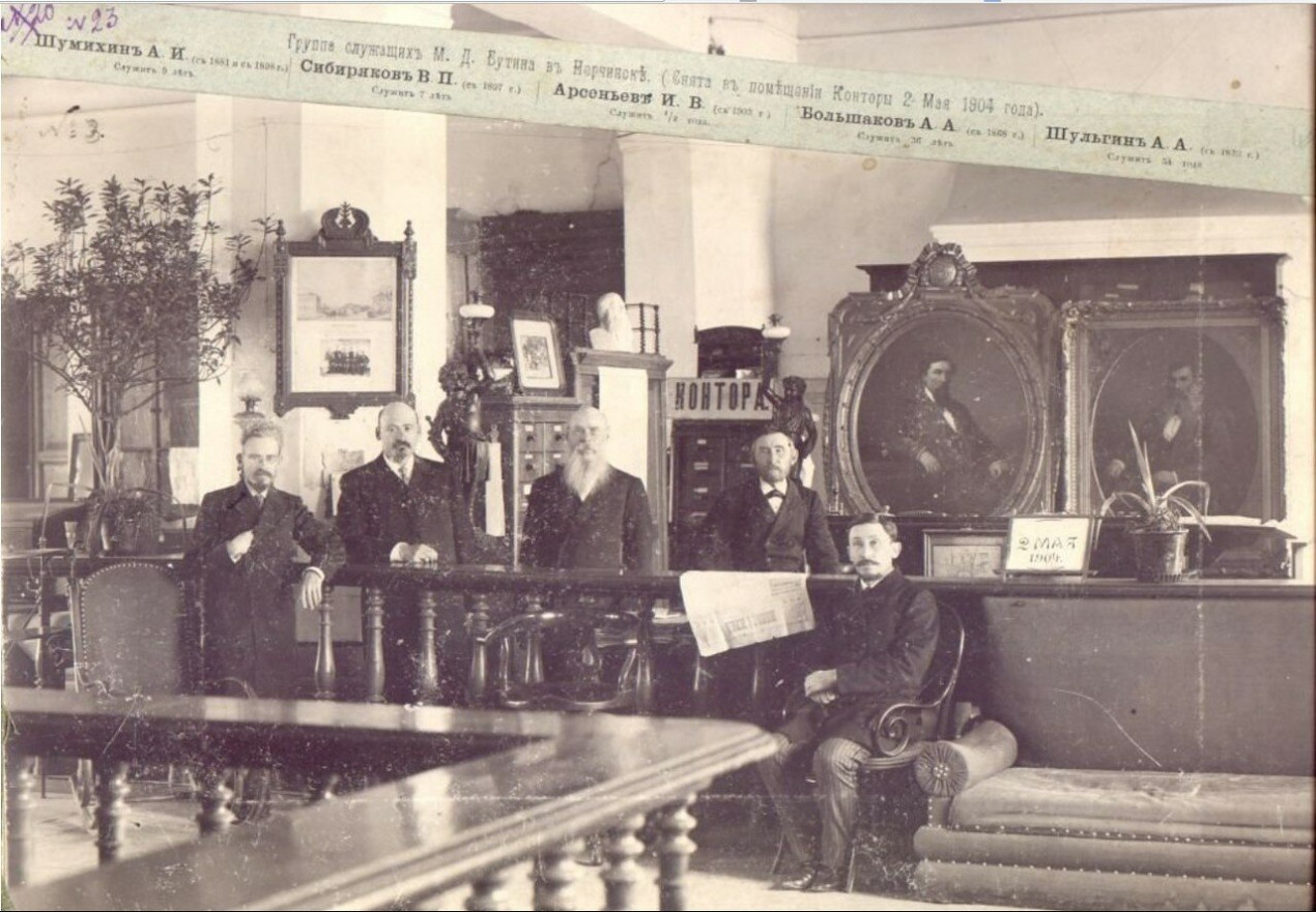
Butin's employees in the office. Photo: nerchinsk.ucoz.ru
In 1870, the famous industrialists of Transbaikalia, the Butin brothers, initiated a private expedition from Nerchinsk to Eastern Mongolia and China. The goal was to explore a new trade route to replace the logistically complex Kyakhta route (currently located in Buryatia). As a result, maps of the traveled path were drawn and ethnographic manuscripts were compiled. The data from these documents were taken into account when concluding the Russian-Chinese trade treaty of 1881, which expanded the list of border points for Russian merchants to travel to China. The artifact is now available on the Geoportal of the RGS, with waypoints, rivers, mountains, and passes.
The Butin Brothers
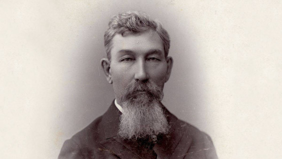
On October 23, 1835, the future entrepreneur Mikhail Butin was born into the family of the Nerchinsk merchant of the third guild. In 1848, after graduating from the Nerchinsk Weapons School, he and his brother Nikolai went to serve as clerks at the factories of the Kandinsky merchants (a famous dynasty of Siberian entrepreneurs). In 1850, the brothers decided to open their own business.
Business acumen and commitment to the goal had borne fruit. In the late 1870s and early 1880s, merchant, philanthropist, and collector Mikhail Butin and his brother opened the Butin Brothers Trading House in Nerchinsk. The company owned an ironworks and two distilleries. In addition, the Butins were engaged in gold mining in the Trans-Baikal region, manufacturing trade, and other activities. The entrepreneurs actively conducted business with China. However, the Kyakhta—Urga—Kalgan route, which had been used for centuries, did not satisfy the brothers, as trade volumes grew. Then they began to look for a shorter and more convenient route from Transbaikalia to China.
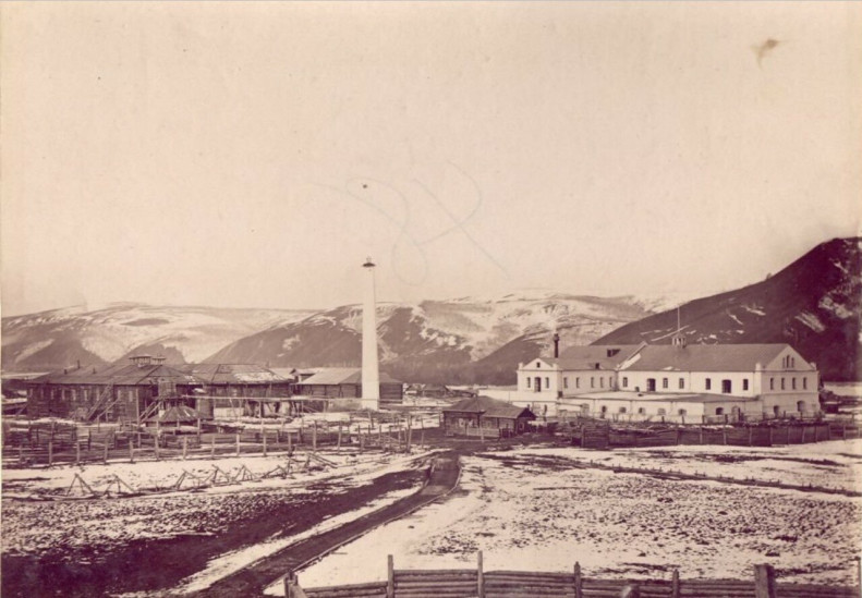
The Novo-Aleksandrovsky Distillery of M. D. Butin 60 versts from Nerchinsk. Photo: nerchinsk.ucoz.ru
From Nerchinsk to the Chinese Border
The idea of finding a new route was supported by Mikhail Korsakov, Governor General of Eastern Siberia, the Ministry of Foreign Affairs, and the Siberian Department of the Imperial Russian Geographical Society. Mikhail Butin allocated 10,000 rubles for the organization of the expedition. For comparison, in the 19th century, a kilogram of soap cost about 1 ruble. The first Butin expedition explored the ancient trade route from Nerchinsk to the Chinese border along the eastern edge of Mongolia. At that time, along the route through Kalgan and Urga, goods were delivered to Kyakhta by camel. It was assumed that the new route would allow goods to be brought from the southern ports of China to the Gulf of Pechili and to the cities of Linghe and Dolon Nor, and from there by cart to the borders of the Nerchinsk District.
The expedition consisted of 16 people, led by merchant Aleksandr Losev. The route passed from Kulusutaevsky Karaul to the Chinese city of Tianjin through the large trade and craft centers of the region. The expedition passed through the cities of Kerulen, Dolon-Nor, Gubeikou, Beijing, and Tianjin, as well as through densely populated datsans and joss houses. The program included a study of geographical, ethnographic, and natural history features of the territories.
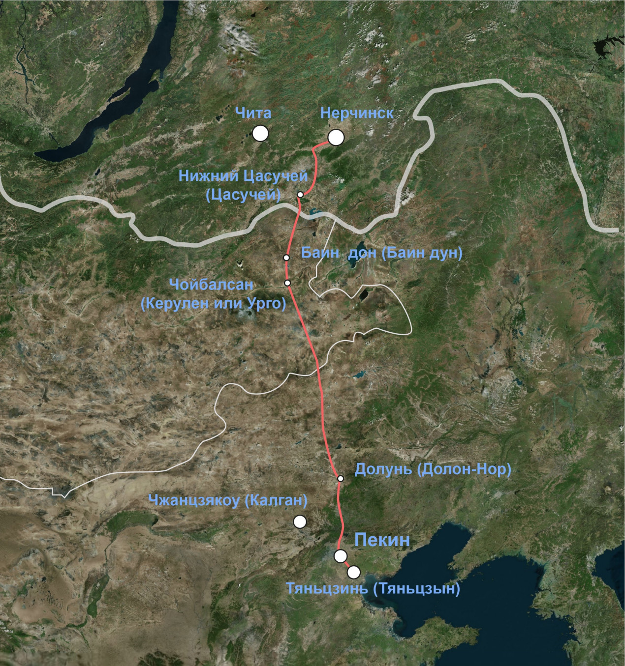
The route of a private expedition from Nerchinsk to Eastern Mongolia and China
The expedition lasted four months and ended successfully — it was found that the route traveled was 110 km shorter than the current Kyakhta route. Based on the data obtained, recommendations on the organization of caravan trade were developed. The first caravan led by the Nerchinsk merchant Pershin followed a new route in October 1871 — March 1872. In 1881, Russia and China signed a trade agreement, according to which the number of border points for the passage of Russian merchants to China increased to 13. The expedition participants described the route they had traveled: landscape features, weather conditions, collected samples of rocks, plants, insects, as well as information about ethnography, religion, and handicrafts. For this expedition, the Butin brothers were awarded Small Silver Medals of the Russian Geographical Society; and on February 8, 1871, Mikhail Butin was elected a member of the Imperial Russian Geographical Society.
Long-Distance Trails
In 1871, Mikhail Butin published «Historical Sketch of Russian Relations with China and a Description of the Route from the Border of the Nerchinsk District to Tian-Jin». There he describes, among other things, Russian-Chinese trade, Lamaism (Tibetan Buddhism) and its impact on the economy of Mongolia, the way of life and the character of the Mongols. At the same time, the publication did not include well-scaled topographic maps of the expedition’s travel segments, which contain landscape characteristics, designations of religious sites, architectural structures, and commercial enterprises.
In 1873, Mikhail Butin traveled to America to learn more about modern methods of mining gold, silver, and iron ores. The entrepreneur visited the states of Nevada, Utah, California, and also visited the cities of New York, Colorado, San Francisco, and Sacramento. He also went to Niagara Falls: «I looked into the life and development of a rich, huge country and brought all this valuable information to us, in Nerchinsk.» After returning from the United States, Butin passionately argued that it was necessary to build a railway in Siberia.
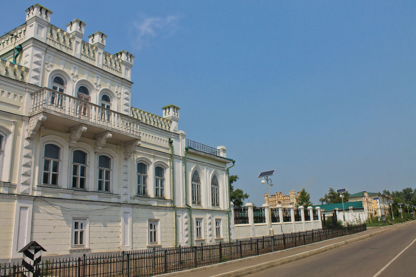
The Butin Palace in Nerchinsk. Photo: nerchinsk.ucoz.ru
Through Eastern Mongolia and Manchuria
Little is known about the second expedition, although it was also successful. In 1881–1882, the Butin expedition went to Starotsurukhaitui Karaul (Priargunsky District of the Trans-Baikal Territory). The task, to cross the Argun River, which formed the natural border with China, and go to Blagoveshchensk on the right bank of the Amur River through Eastern Mongolia and Manchuria. Prince Pyotr Kropotkin, an explorer and scientist, traveled this way in 1864 with his expedition. The final destination of this expedition was the city of Aigun.
This work allowed to explore the cattle-driving route from the southern borders of the Trans-Baikal region to Northern Mongolia, through the northern part of Manchuria to the city of Blagoveshchensk as the center of meat procurement for the Zeysk and all Amur mines. As in the 1870 expedition, individual sections of the route were reflected on specially created topographic maps.
The expedition resulted in three maps. All of them are painted with watercolor paints. The texts describing the routes are written in beautiful calligraphic handwriting. At the end of the text of the second and third atlases, there is the signature of one of the brothers, Mikhail Butin.
To the benefit of the Imperial Geographical Society, Butin allocated 3,000 rubles. With this money, magnetic instruments, books on geology, botany, meteorology, and zoology were ordered for work in expeditions. In addition, Butin donated 300,000 rubles for the equipment of the expedition to the Lower Tunguska River.
Maria Buldakova