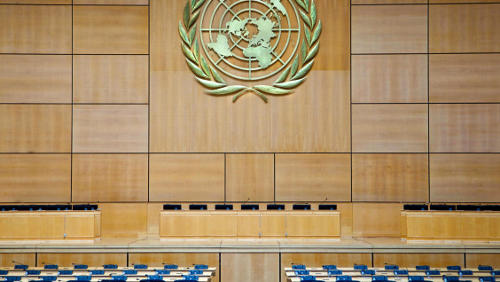
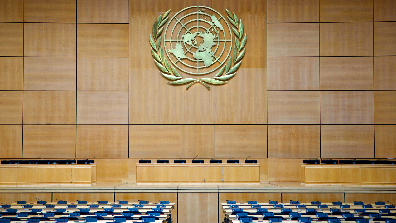
UN General Assembly Hall. Photo: wikipedia.org/Torbjorn Toby Jorgensen
On September 4, the UN General Assembly adopted a resolution calling on countries around the world to abandon maps based on the most common Mercator projection. According to the authors of the initiative, such maps distort the sizes of countries and continents. In particular, they make Africa appear smaller in area, while making northern states appear larger. What alternatives are being proposed? How much «more compact» will Russia become? Is it possible to create an ideal world map? And why did Stalin and Roosevelt have their own globes?
“Symbolic Diminishment”
The proposal was presented by Togolese Foreign Minister, Robert Dussey, with the support of the African Union. 164 countries voted in favor of the resolution, including Russia; six countries abstained (Georgia, Lithuania, Moldova, Serbia, Ukraine, and Estonia); and only the United States voted against.
The document states that cartographic distortions contributed to the «symbolic diminishment» of Africa’s role and entrenched an «unbalanced view of the world.»
What’s wrong with the Mercator, and what’s the alternative?
The Mercator projection is one of the ways of projecting the spherical surface of the Earth onto a plane, proposed by the Flemish geographer Gerardus Mercator back in 1569 for the needs of navigators.
The debate about the inaccuracy of the Mercator map has been going on for several years. It is noteworthy that a number of Western countries, including the United Kingdom and France, also support the African perspective. Even in the United States, amid «post-colonial» sentiments, some states have begun using maps in schools that are based on other projections, in particular the Gall-Peters projection.
The authorities of many African countries and even representatives of the scientific community in the West believe that the Mercator map perpetuates a view of the world «through the eyes» of the United States and Europe, downplaying the geographical significance of the countries of the Global South. According to them, this is how the idea of the dominant role of Western civilization is subtly introduced into the consciousness of the planet’s population.
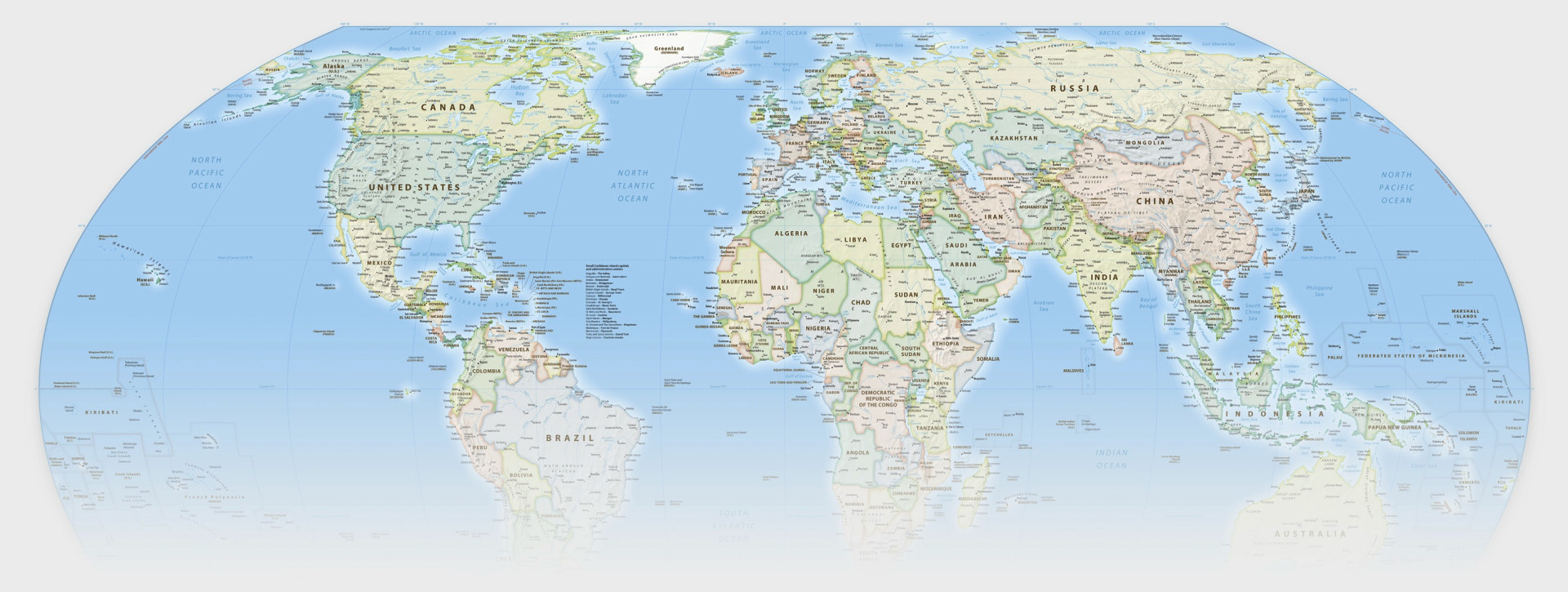
The «Equal Earth» projection, developed by Tom Patterson, Bernhard Jenny, and Bojan Šavrič in 2018, is now proposed as an unofficial alternative to the Mercator. This is an equal-sized pseudo-cylindrical projection for world maps. Its objects on the earth’s surface look commensurate with their actual areas of countries and continents. However, the contours of countries and continents are noticeably distorted, just like in the Gall-Peters projection.
Who is really bigger?
The main «beneficiaries» of the Mercator map (if that word is even appropriate here) were not even the United States and the states of Western Europe, but the countries closest to the Earth’s poles. This is understandable: the very mechanism of the Mercator projection assumes that the closer to the equator, the more accurate the map is in all respects. Conversely, the farther away, the greater the distortions, primarily in terms of relative area.
Indeed, the northern countries appear much more significant on the Mercator map. For example, Greenland (2.2 million km2) is comparable to Africa (29.2 million km2, excluding islands) on the Mercator maps we are familiar with. And Russia (more than 17.2 million km2) is more than twice as large as the Dark Continent on the Mercator map.
Of course, the relative areas on the map have nothing to do with the actual sizes of the states. And we can still see their true proportions and configurations today, even on a school globe.
In search of the perfect map
«The Mercator map is absolutely unsuitable for depicting countries, ” agrees one of the most authoritative Russian cartographers, Doctor of Technical Sciences and member of the Council of Elders of the RGS, Aleksey Postnikov. «This map has a specific technical purpose. The areas are significantly distorted on it, but the directions are displayed as accurately as possible compared to other maps. Given the era in which it was created, this characteristic was critically important for maritime navigation. But even today, for transport purposes, the Mercator map is the best possible option.»
Is it possible to create a certain synthesis based on various projections, to find a cartographic compromise that would take into account the problem of the relative area of countries and would preserve the correctness of angles and directions? Aleksey Postnikov believes that such a map cannot be created even theoretically.
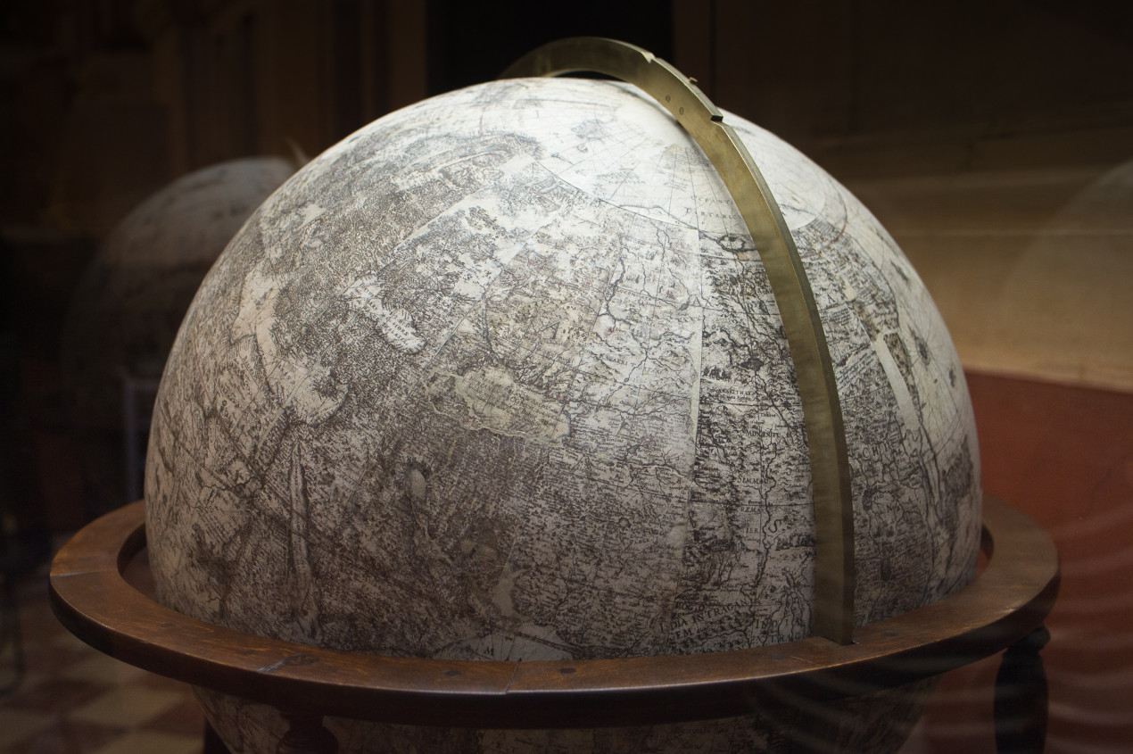
Blaeu’s terrestrial globe. Photo: Aleksey Mikhailov
«Only a globe can provide the required accuracy. Moreover, it must be a special globe, created taking into account the shape of the Earth, since it is not a sphere at all, but rather resembles a potato or even a pear of some northern variety, ” Aleksey Postnikov continues. «It’s no wonder that Stalin and Roosevelt had their own globes. I had the honor of personally knowing the author of the American president’s globe. It was Arthur Robinson, a great American cartographer.»
However, the current discussion does not in any way diminish the value of the maps themselves, especially when it comes to individual countries. Our expert reminds us that all large-scale topographic maps (for example, the map of the Soviet Union at a scale of 1:25,000, created by specialists from the Main Directorate of Geodesy and Cartography under the Council of Ministers of the USSR and the Main Military Topographic Directorate of the General Staff of the Armed Forces of the USSR) had virtually no distortions and quite accurately depict the Earth’s surface. And no wonder — 1 cm «covers» only 250 m! Such maps were created based on the Gauss–Krüger projection, which remains the standard for topographic maps and geodetic coordinate systems in Russia and a number of other countries.
«Such a map provides minimal distortion in all parameters. On paper, the accuracy still cannot exceed the point of a compass needle, which is 0.1 mm,» says Aleksey Postnikov.
What the future of maps might be like
The current decision of the UN General Assembly is not binding. «The resolution does not prohibit the Mercator projection and does not propose replacing it. Instead, it calls on governments, schools, international organizations, and technology companies to use the 'Equal Earth’ projection and other so-called equal-area maps when relative size is important, and to teach the use of maps with a limited plane to represent a spherical planet, » the UN website states in a comment.
Meanwhile, a number of states — and not only African ones — are already planning to officially incorporate the use of equal-area maps into their educational programs. French Foreign Minister Jean-Noël Barrot announced that Paris plans to abandon the Mercator map in favor of world maps based on the principles proposed in the UN resolution. Some of our experts suggested that in Russian textbooks, Mercator maps and «equal-area» maps will coexist to provide an understanding of the different aspects of information that can be obtained from cartographic sources.