Scientists from the Southern Scientific Center (SSC) of the RAS summed up the results of the second stage of the expedition to Lake Manych-Gudilo. The work that will allow to develop proposals for rational use of natural resources in the reservoir area and in the adjacent areas is being carried out within the framework of a grant project of the Russian Geographical Society.
The RGS supported the project of the SSC RAS «Lake Manych-Gudilo: Century-Long Transformation, Modern Features, and Prospects of Rational Use of Natural Resources» in 2025. The second part of the field stage was held from April 7 to 15 this year in the Rostov Region, Stavropol Territory, and the Republic of Kalmykia.
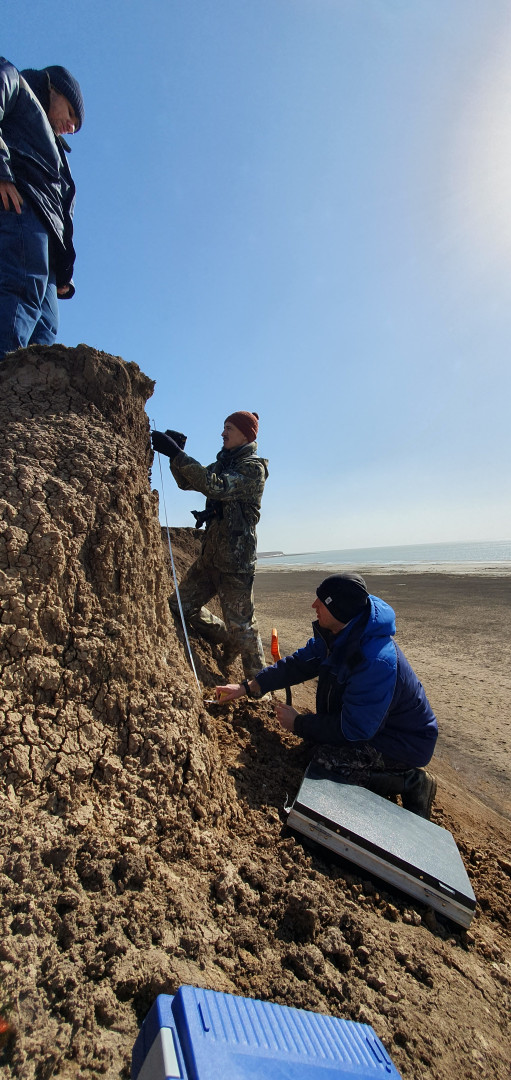
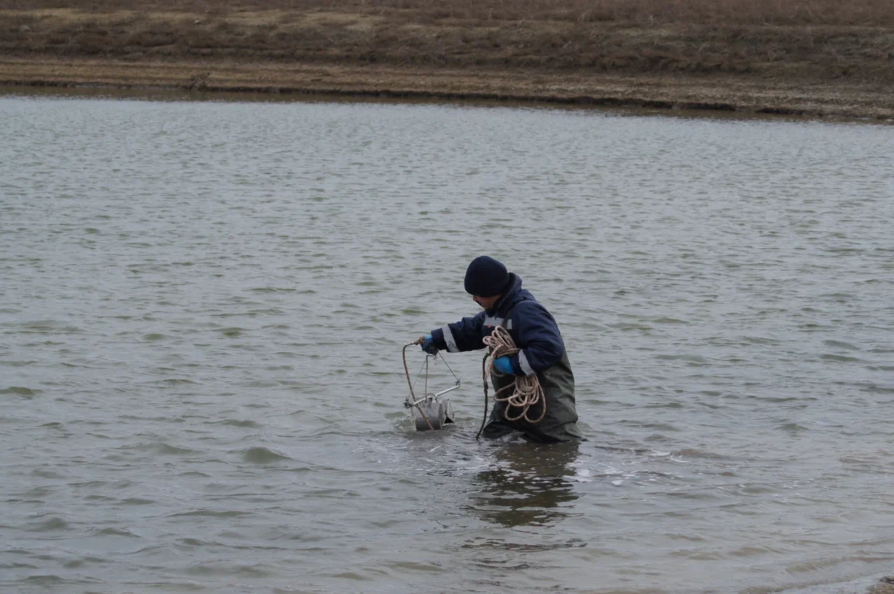
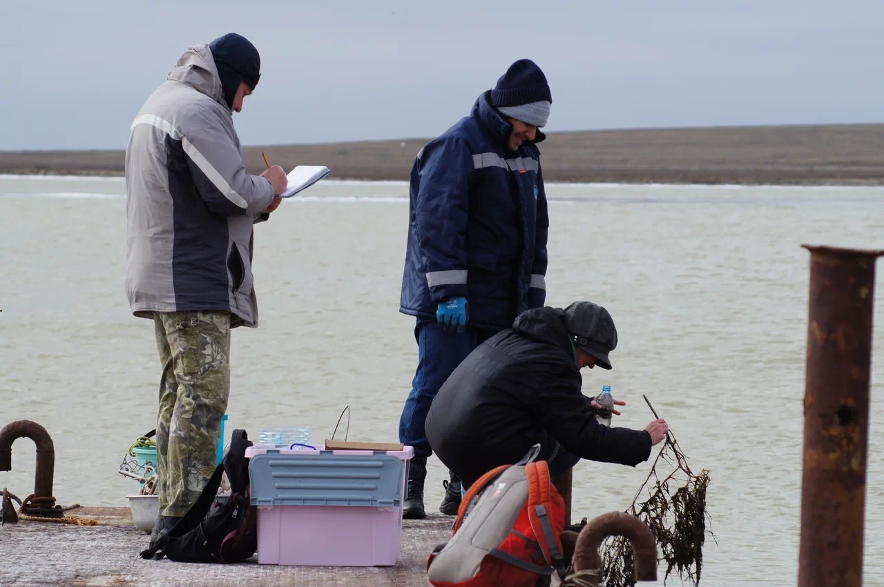
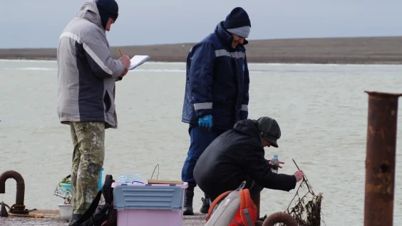
«Manych-Gudilo is one of the largest lakes in our country, it plays a huge role in the natural framework and conservation of biodiversity in the south of Russia. The reservoir is characterized by unstable level and salt regimes and a changing water table area. We have carried out hydrochemical and hydrobiological sampling. The temperature, electrical conductivity, and turbidity of the water were measured, and the pH and concentration of dissolved oxygen in the water were measured. Landscape and soil profiles were laid in the coastal strip to study modern processes,» said Aleksey Kleshchenkov, head of the expedition of the SSC RAS, Candidate of Geographical Sciences.
According to him, the project made it possible for the first time in the last 20 years to establish the boundaries of the salinity zone in the eastern part of the lake, in the area of the flow of the Kalaus River.
«The snowy winter of 2025–2026 caused the flow of fresh meltwater in the spring, as a result of which an increase in the water level in the lake was recorded compared to October 2025, and the salinity in the central part of the lake decreased from 142 to 91 g/l, » said Aleksey Kleshchenkov.