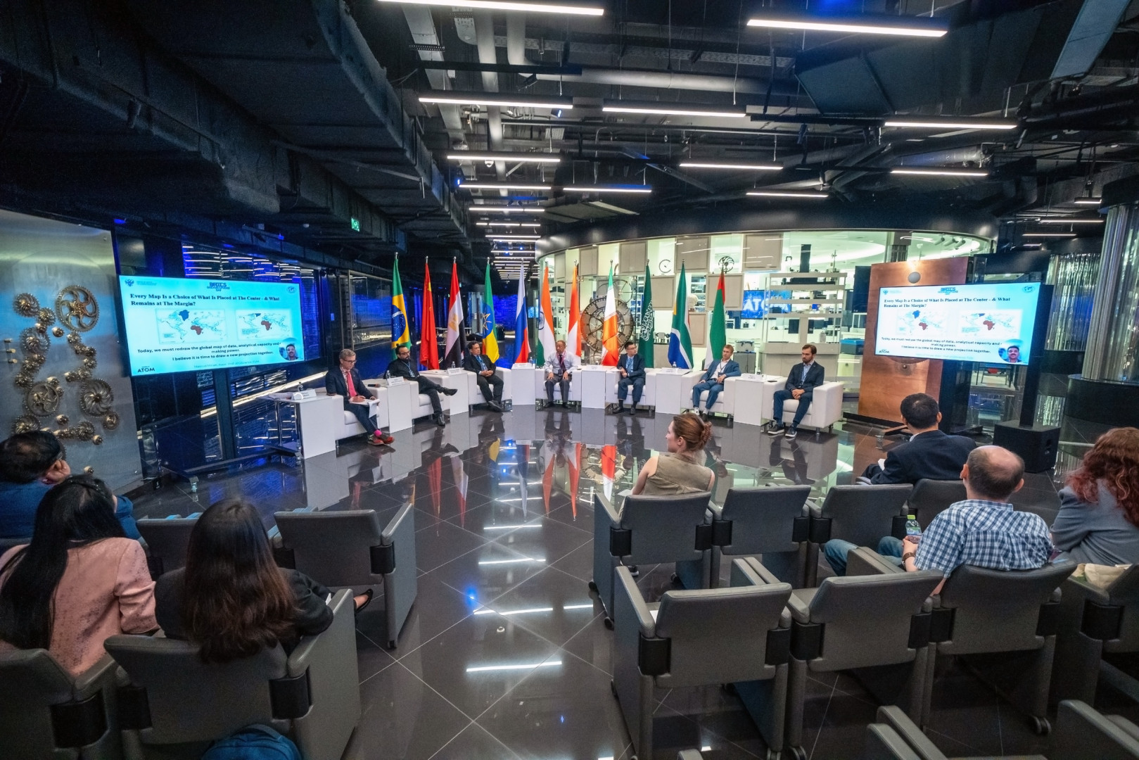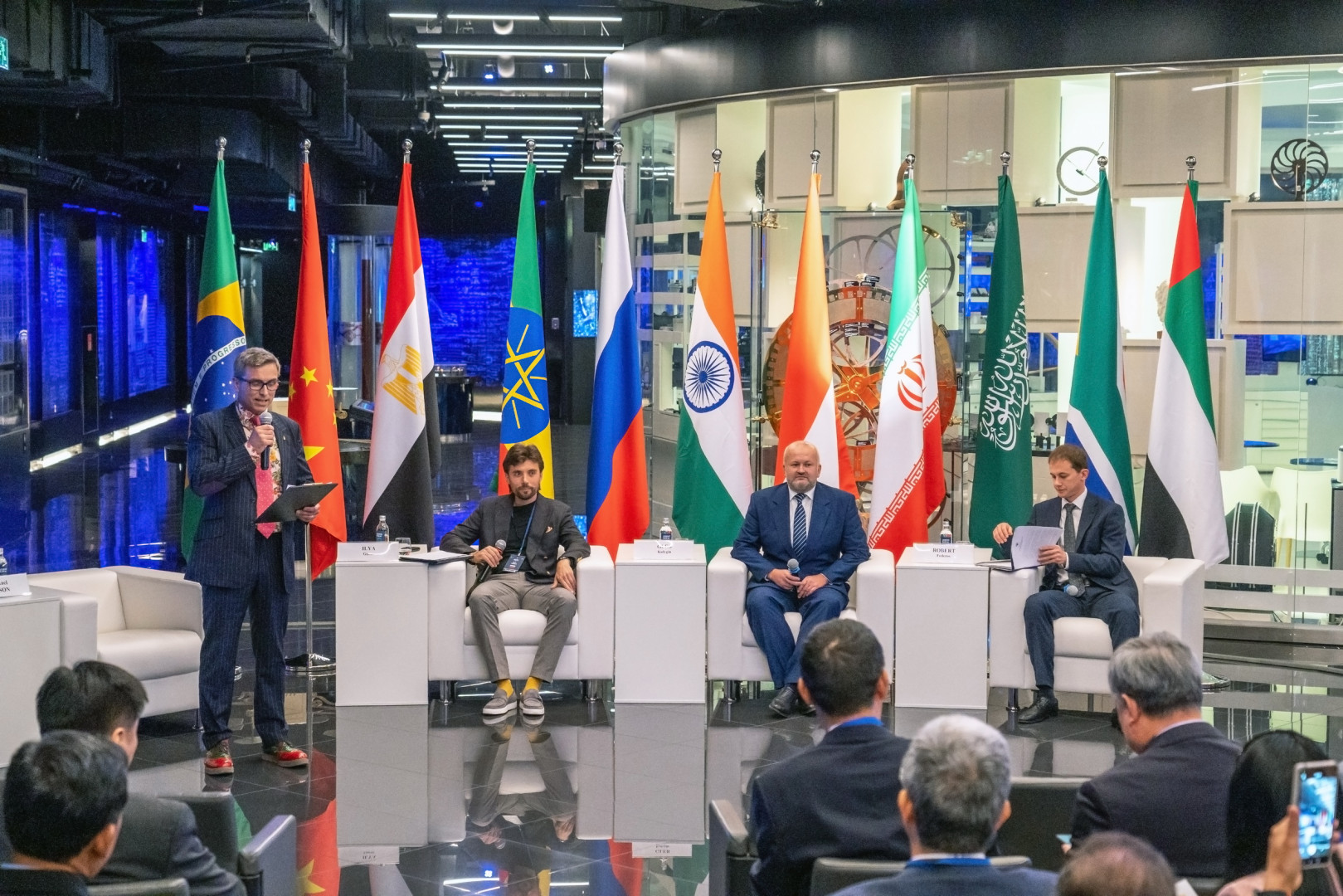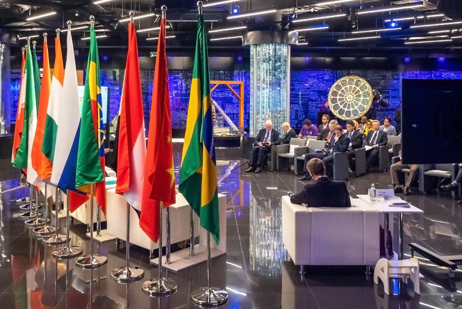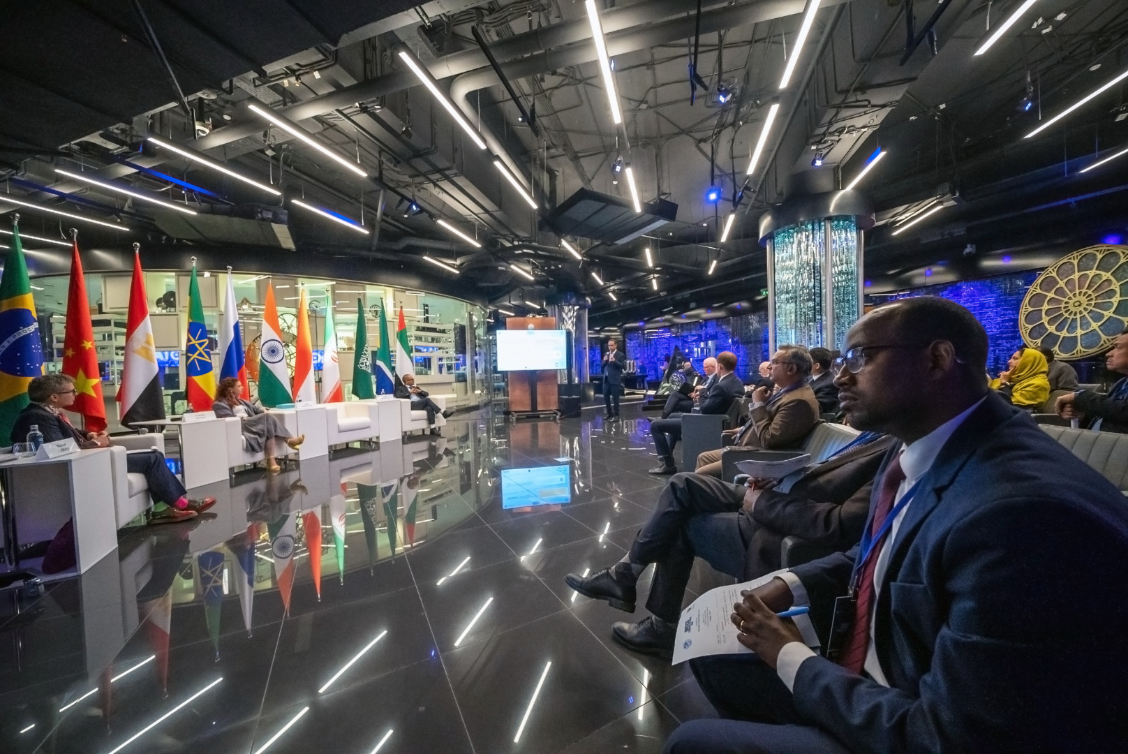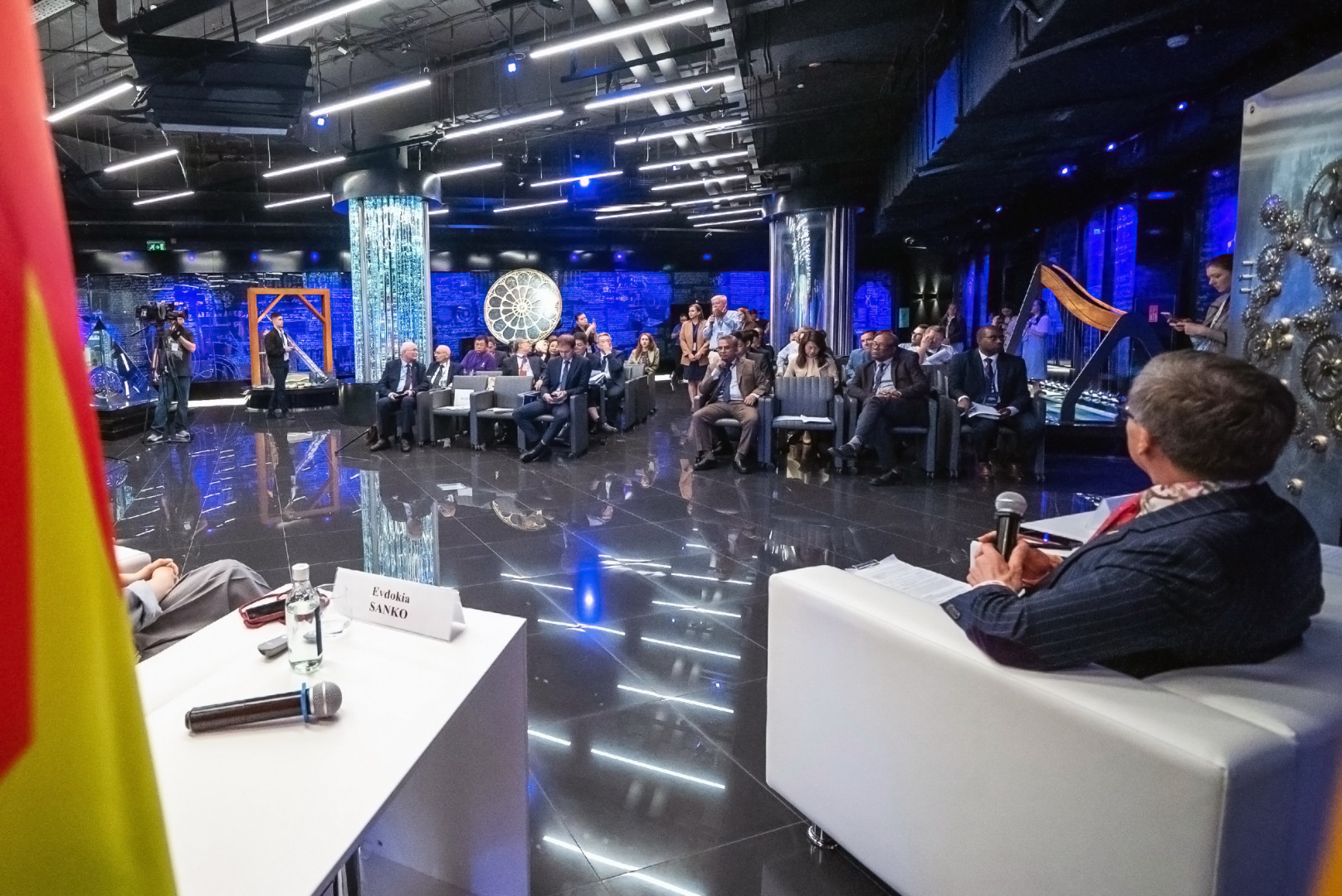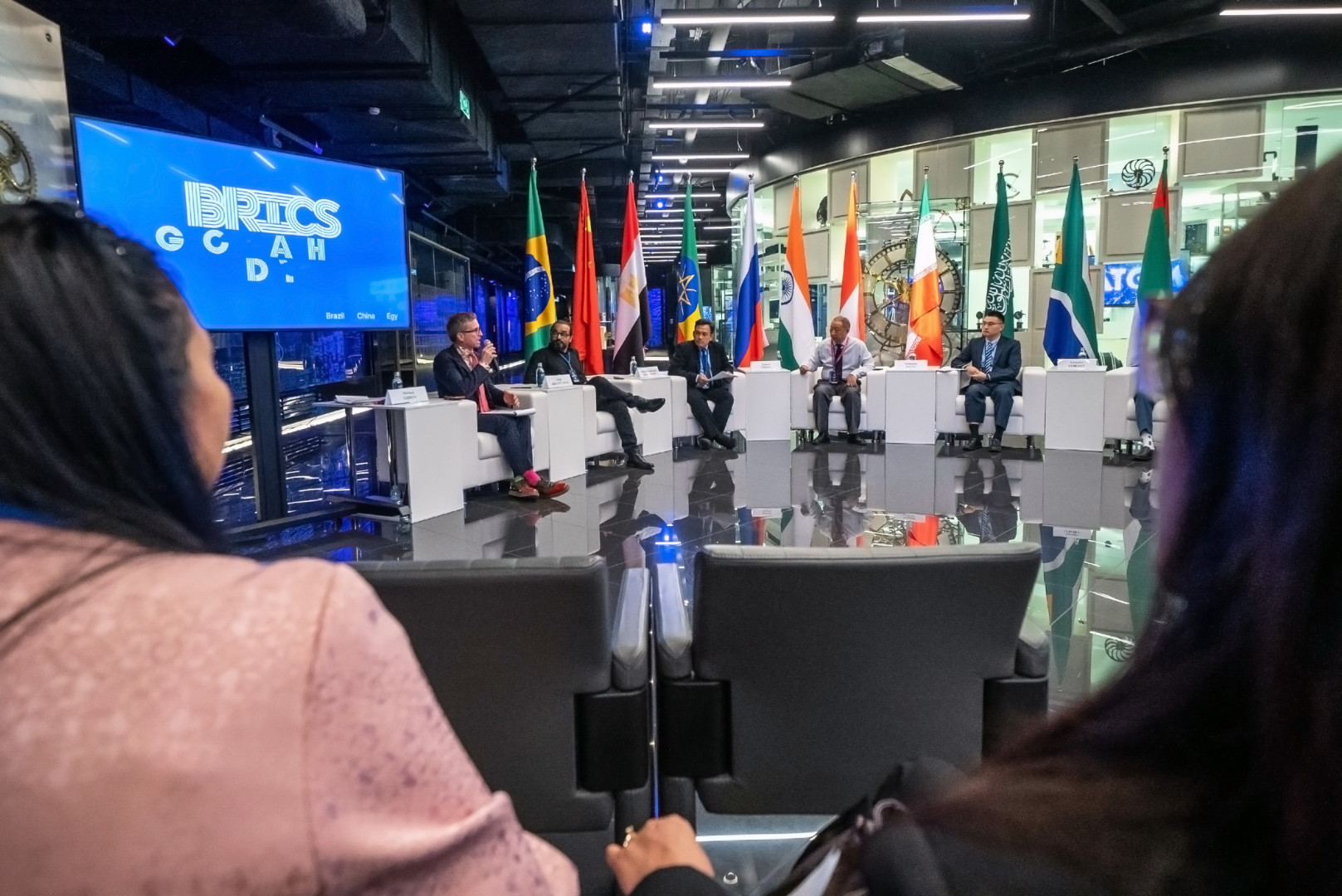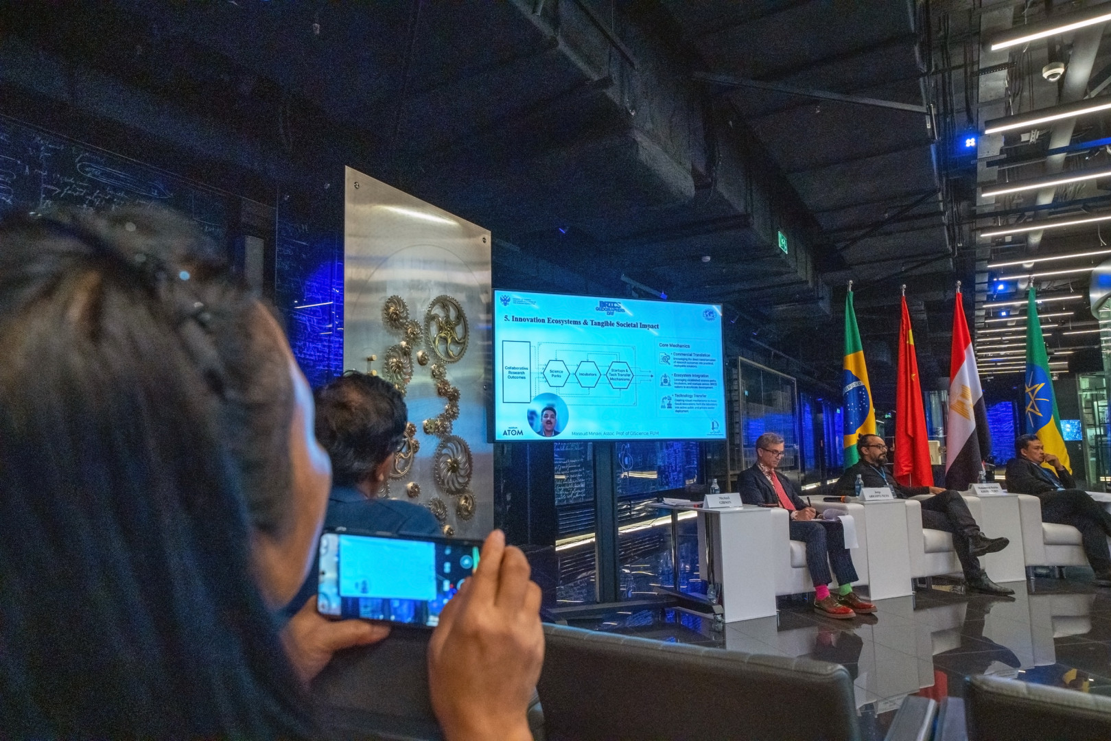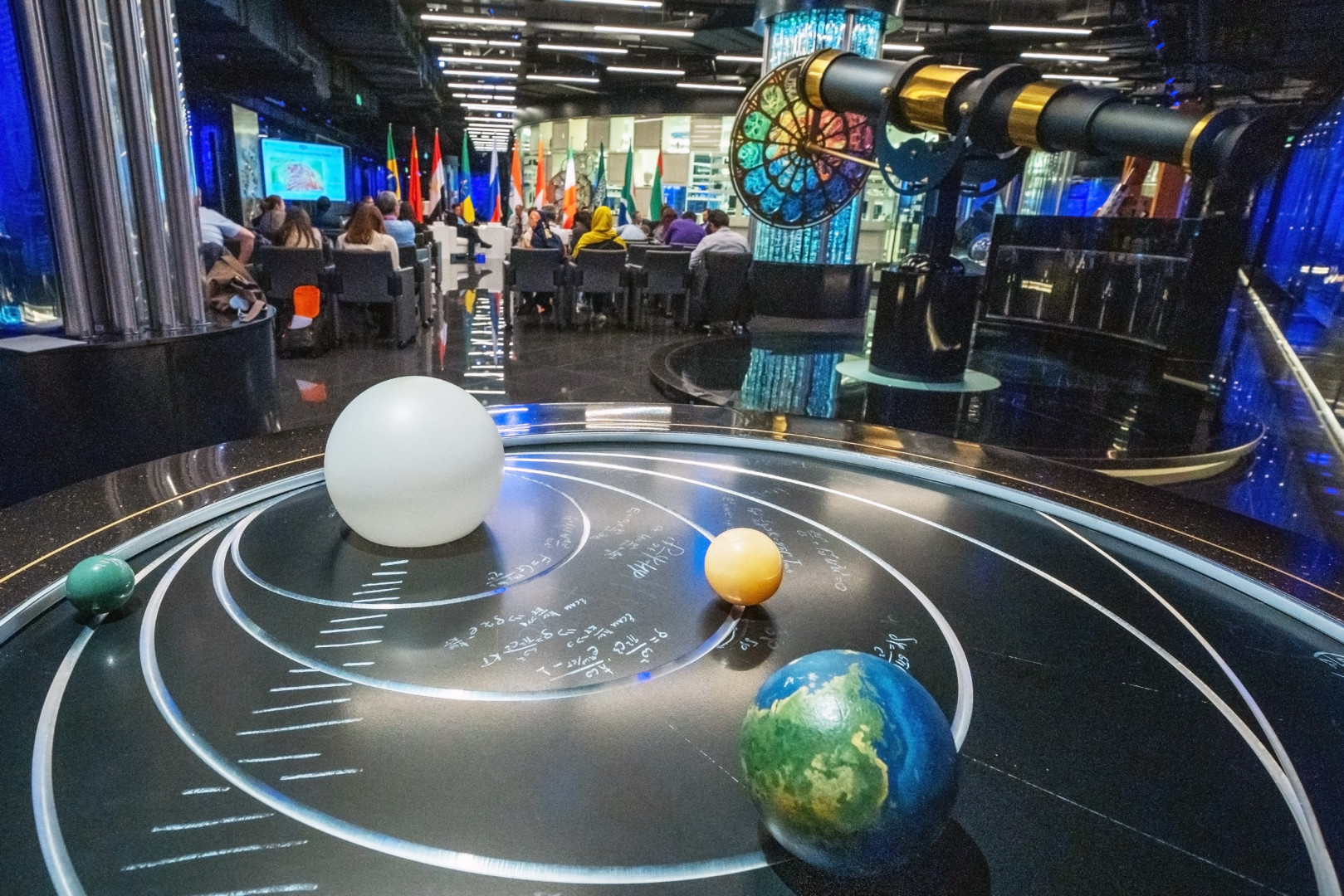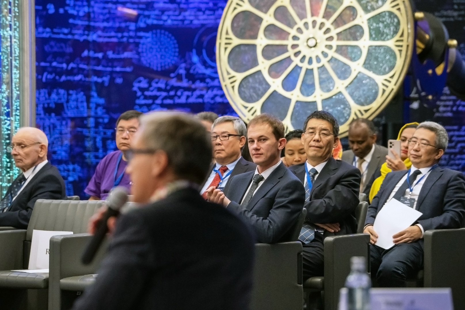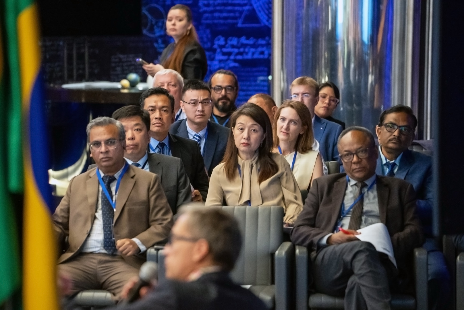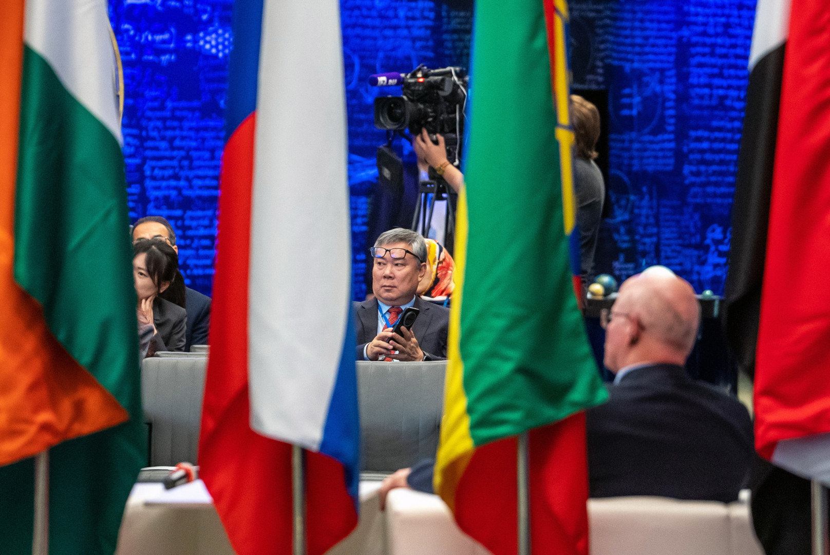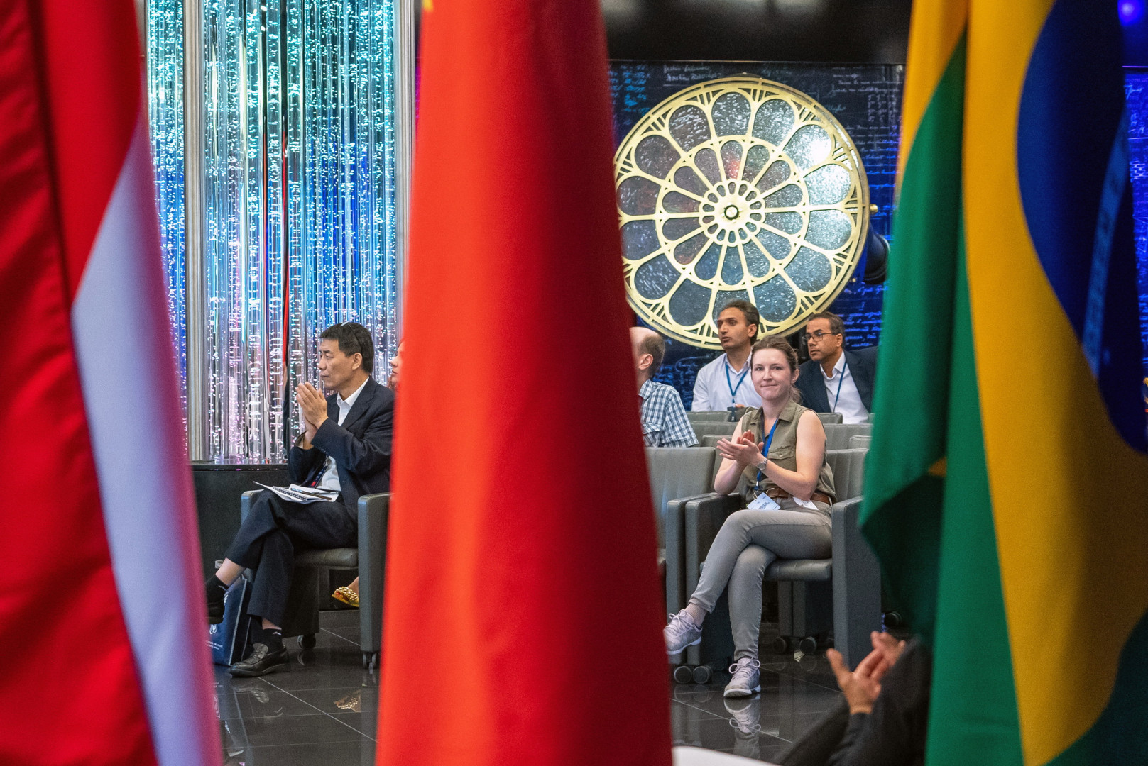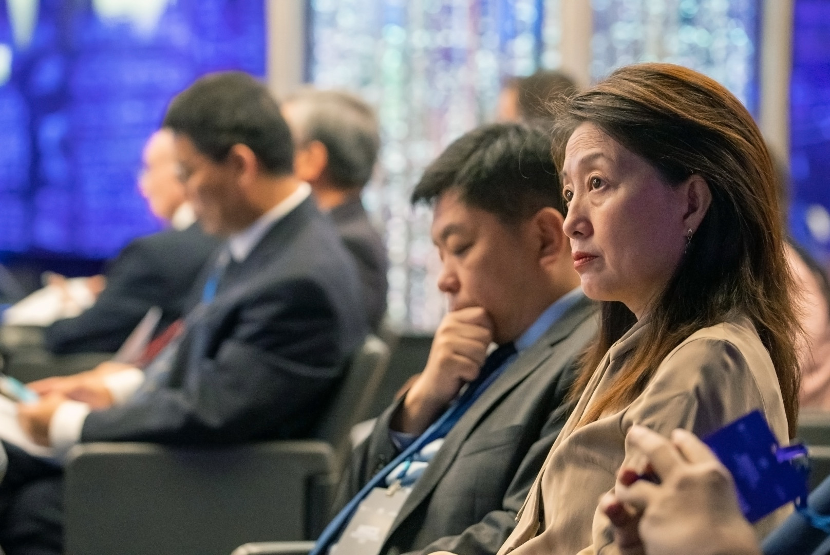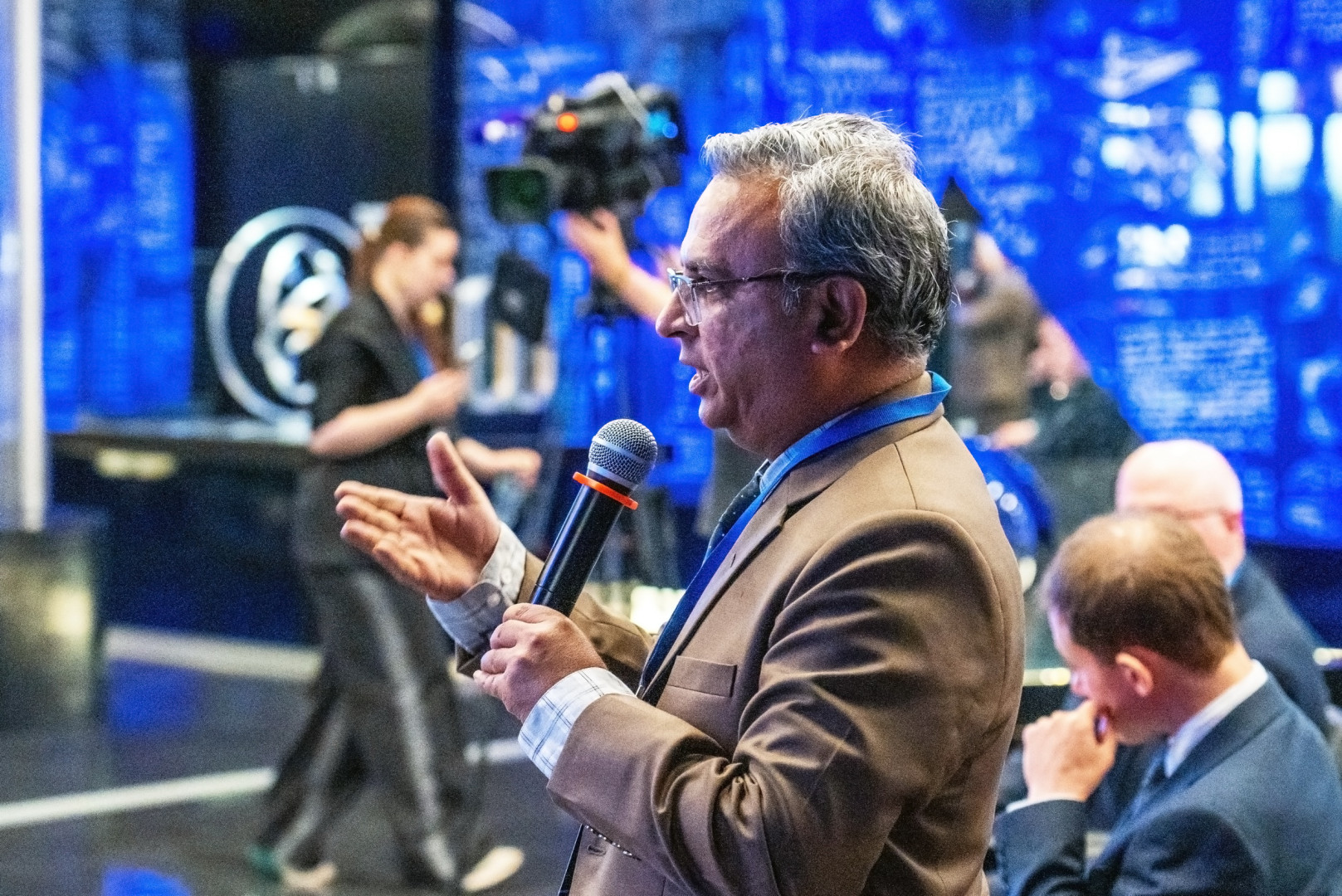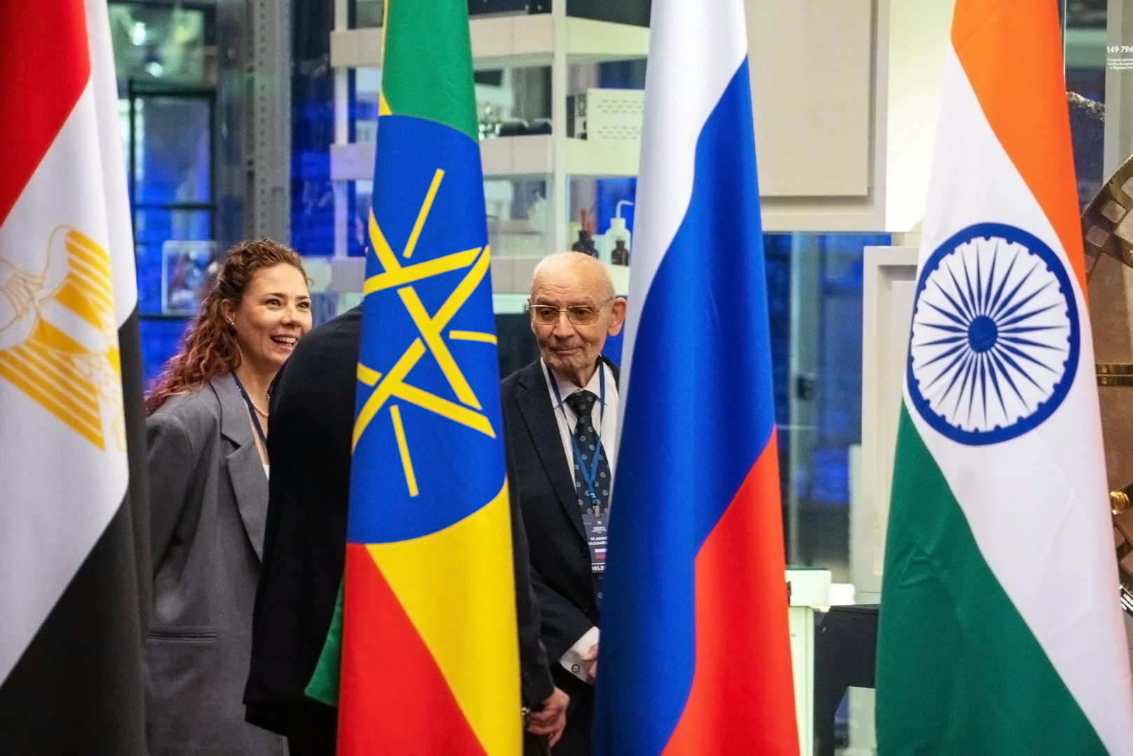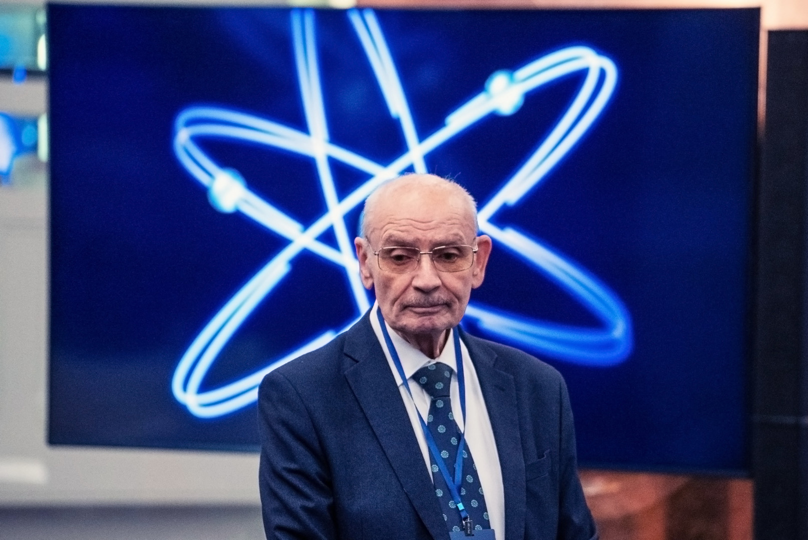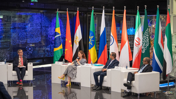
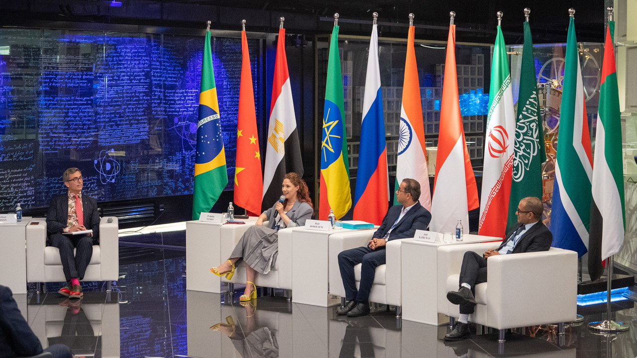
The atmosphere of the “ATOM” museum emphasized the scientific and humanitarian nature of the session. Photo: Vladimir Neskoromny / press-service of the RGS
The BRICS Geographer’s Day program in 2026 was marked by a full-fledged international scientific session, in which, in addition to scientists from Russia, their colleagues from Brazil, India, Iran, and China took part. Official representatives from a number of other countries — Malaysia, Uganda, and Ethiopia — were present as honorary guests. The session, held in the format of a mini-conference, took place at the «ATOM» museum and opened the program of festive events on August 18. The most pressing issues were discussed: geographical education in schools, the profile of a modern geographer, and ways to popularize the profession, as well as the impact of digital technologies on georesearch. After listening attentively to the reports, a number of interesting conclusions can be drawn. One of them is that, despite the intense technological race, in which Western countries usually set the tone, many observers appear to underestimate the scientific potential of the BRICS countries. This means that surprises await us.
Holiday with prospects
The idea to establish BRICS Geographer’s Day, building on the foundation of a similar Russian holiday, originated within the RGS. And in the autumn of 2024, Russian president Vladimir Putin proposed officially adding a new professional holiday to the agenda at the summit in Kazan. But not just as a pleasant ritual. On the one hand, it is obvious that the expansion of international trade and the search for new trade routes, climate change, and the rapid development of new technologies require the joint efforts of many countries. On the other hand, geopolitical disagreements and the crisis of traditional diplomacy clearly hinder the normal process of global integration. In such an atmosphere, the role of international scientific contacts becomes more and more important. As many session participants noted from the podium and on the sidelines, it is geography that, due to its universality, is capable of providing answers to the most complex challenges of the new reality. It seems that, not just for the sake of making a point, Robert Fedorov, Acting Director of the Department of International Cooperation of the Ministry of Science and Higher Education of Russia, noted in fluent English: despite the «youth» of the tradition of celebrating BRICS Geographer’s Day, it clearly has enormous potential — primarily due to the expansion of the community of researchers.
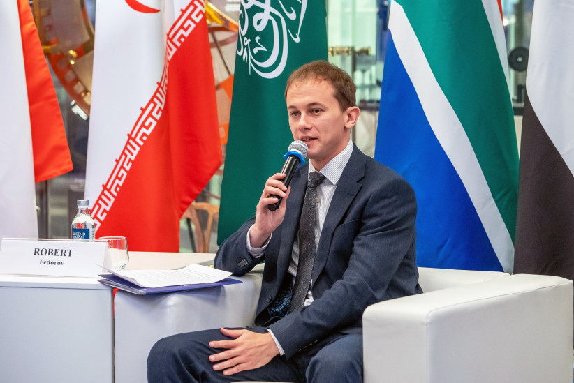
Acting Director of the Department of International Cooperation of the Ministry of Science and Higher Education of Russia, Robert Fedorov. Photo: Vladimir Neskoromny/press-service of the RGS
How geographers design the future
Ilya Gurov, First Deputy Executive Director of the RGS, emphasized that Geographer’s Day is a unifying holiday:
«It is important for us that geographers from the BRICS countries can constantly exchange views on pressing issues: building transport corridors, geographical education, and artificial intelligence in geography. So that a unified space of ideas and visions of the future can be formed. After all, geographers largely design it. It is necessary for the scientific tools of one BRICS country to be understandable in another. And, of course, such events always help to establish scientific ties.»
According to Ilya Gurov, there is an obvious practical aspect to this, given the instruction from the head of the Russian state regarding the development of sovereign neural networks. In this sense, the experience of colleagues from BRICS is very important.
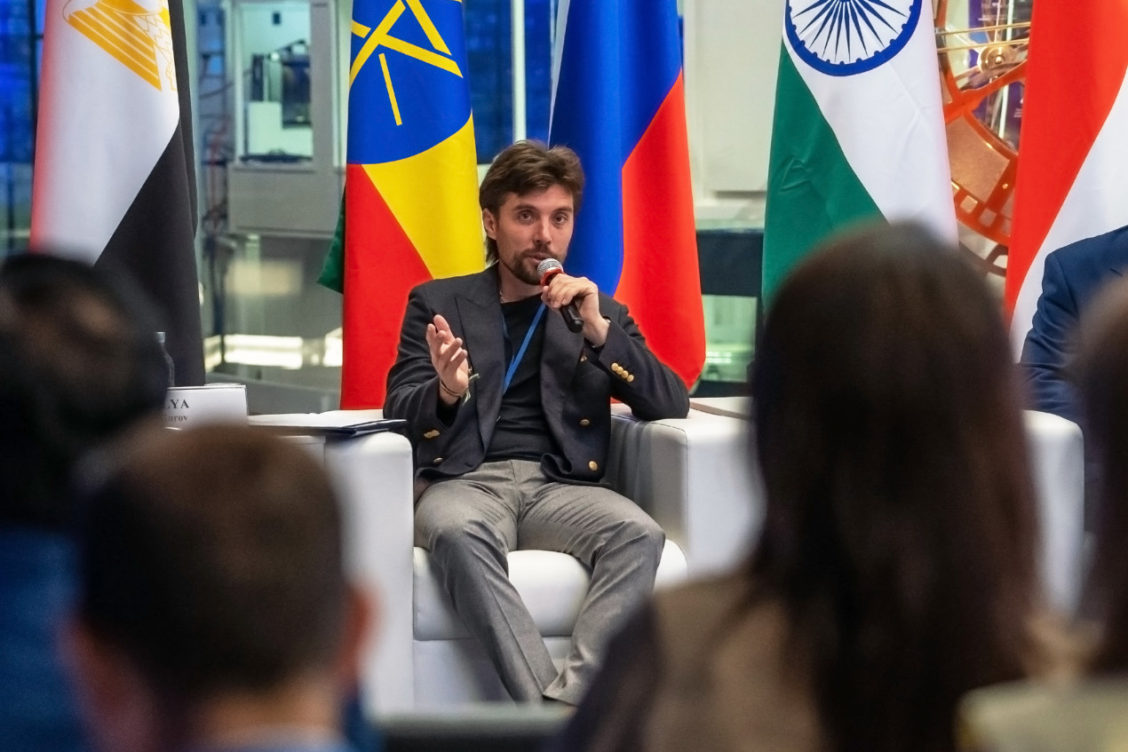
Ilya Gurov noted the unifying meaning of BRICS Geographer’s Day. Photo: Vladimir Neskoromny / press-service of the RGS
The moderator of the current scientific session was British journalist Michael Gibson, who has lived in the Russian capital for many years, considers himself a Muscovite, and even hosts his own program, «Moscow — the Best City on Earth, ” on the "Bolshaya Aziya" TV channel. In his opinion, geography has never been as important a science, intellectual sphere, and even worldview as it is today.
We have compiled some of the most significant moments from the discussion.
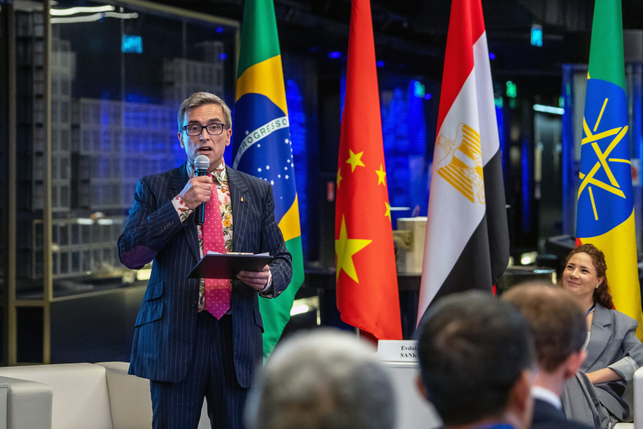
The session moderator British journalist Michael Gibson. Photo: Vladimir Neskoromny /press-service of the RGS
How to teach geography in school?
One of the key topics of the scientific session is education, both school and university. And ways to engage talented young people in geographical science, which should be based on obvious basic principles, but at the same time develop along with the changes in the world and the expansion of humanity’s technical capabilities.
According to Kirill Chistyakov, Vice-President of the RGS, Chairman of the Geographical and Environmental Education Commission, and Director of the Institute of Earth Sciences at St. Petersburg State University, the presentations delivered by foreign colleagues were interesting precisely because they demonstrated the range of problems existing in school education. They turned out to be quite similar to those in Russia.
Perhaps the most significant interest lies in the Chinese experience, given the enormous technological leap that China has made over the past few decades. As Kirill Chistyakov reminded, our geographical education has common roots. Chinese geographers studied for a long time using translated Soviet textbooks. And, as it turned out, the head of the Chinese delegation had once attended lectures by the outstanding geographer and landscape scientist, Professor Anatoly Isachenko, whom Kirill Chistyakov considers his teacher.
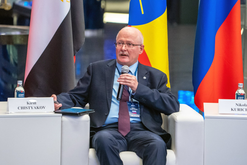
Kirill Chistyakov reminded about the strong traditions of studying and teaching geography in Russia. Photo: Vladimir Neskoromny / press-service of the RGS
It is China that may continue the tradition of holding BRICS Geographer’s Day next year. And many participants in the session are already expecting, if not revelations, then positive surprises.
However, the experts presented a wide range of geographical education in different countries. A representative of the Geographical Society of India and a geography teacher at the school affiliated with the country’s embassy in Moscow, Amit Kapruwan, said that geographical education in India was based on the country’s unique natural diversity. Even at the school level, there is an emphasis on integrating geography with economics. Thus, geography plays a unifying role in a country with regions that vary greatly in terms of development and the largest population in the world. The example of India illustrates the evolution of the educational process: from traditional methods (teacher-centered learning, rote memorization) to modern ones (experiential learning, digital tools, a research-based approach). The country faces problems familiar to us, such as the shortage of teaching staff, a lack of resources, and insufficient digital data. According to the speaker, the proposed solutions include vigorous digitalization, involving students in local projects, and prioritizing the connection between geography and economics.
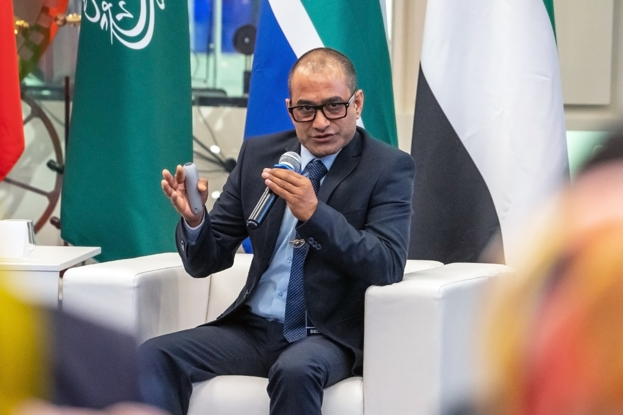
Amit Kapruwan spoke about the specifics of teaching geography in Indian schools. Photo: Vladimir Neskoromny / press-service of the RGS
His Iranian colleague, Hadi Boroujeni, described how geography is taught in his country. In Iran, geography is not a separate school subject but is integrated into the textbook «Social and Humanitarian Sciences». The geographical component itself is structured according to the principle of moving from the small to the large. For example, in the 3rd grade, a child’s immediate environment is studied — the home, the school, the neighborhood. In the 4th grade, the focus expands to urban, rural, and nomadic regions. In the 5th grade, the focus shifts to national demographics and the geography of neighboring countries, and in the 6th grade, students are given the opportunity to assess the complex interactions between humans and the environment. The process is completed in the upper grades. The geography of Iran and regional geography are examined, and the outcome of the studies is the practical significance of the subject.
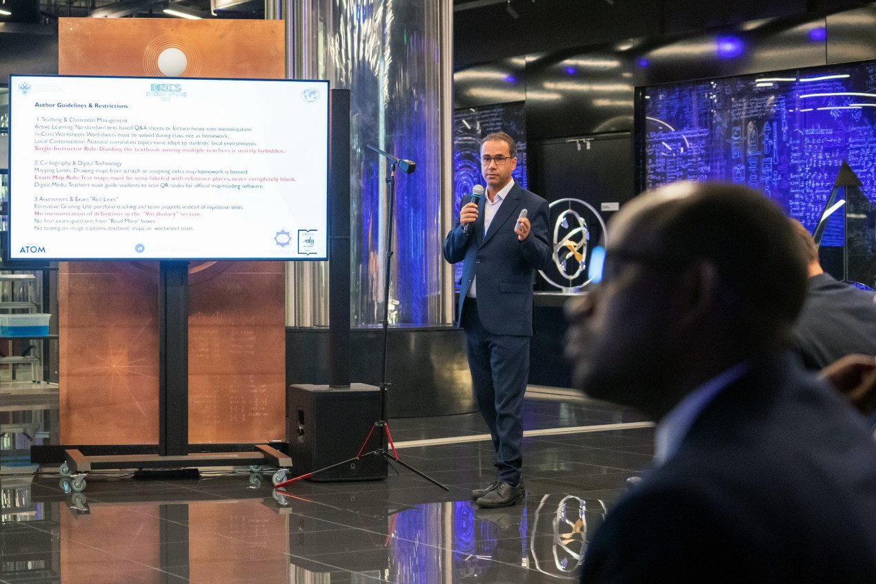
Hadi Boroujeni, a geography teacher at the School under the Embassy of Iran in the Russian Federation. Photo: Vladimir Neskoromny/ press-service of the RGS
Evdokia Sanko, the producer of the «Multi-Russia» and «Fiksiki» projects, took the audience in a completely different direction. She explained how animation becomes a means of fostering geographical culture. The search for emotionally engaging ways to convey geographical knowledge led her colleagues to create a series of animated films about geography, which are based on a certain story and a vivid character. Together with the teacher, children analyze their actions, learn how to interact properly in nature and society, gain an understanding of national cultures, and get to know their country.
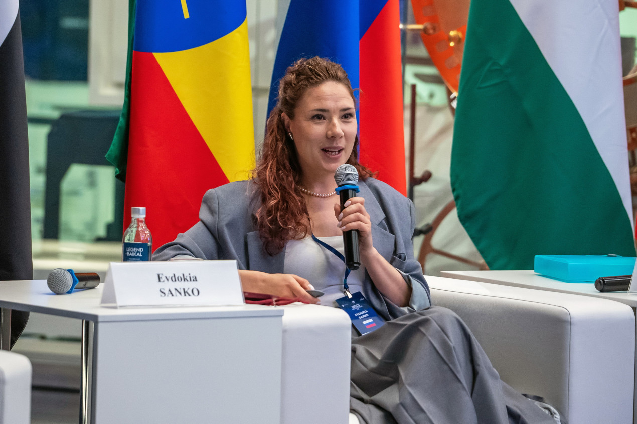
Evdokia Sanko, producer of the “Multi-Russia” and “Fiksiki” projects. Photo: Vladimir Neskoromny / press-service of the RGS
Geography at university: Here and abroad
Two distinct poles of university geography in Russia were represented by Kirill Chistyakov, Director of the Institute of Earth Sciences at St. Petersburg State University, and Nikolai Kurichev, Dean of the Faculty of Geography and Geoinformation Technologies at the Higher School of Economics.
The expert from St. Petersburg emphasized the historical continuity of science at his alma mater with the activities of the Imperial Russian Geographical Society. And this primarily concerns physical geography. The key task is to preserve the traditions of the Russian geographical school while simultaneously modernizing education and strengthening international cooperation.
The colleague from Moscow pointed out that modern conditions require significant adjustments to classical models. And it is no longer enough for a specialist to be just a geographer; interdisciplinary skills and new methodological approaches are important. In the near future, according to the expert, there will be a strengthening of ties between physical and social geography. Of course, digital technologies play a role in this process, providing new opportunities for learning and research.
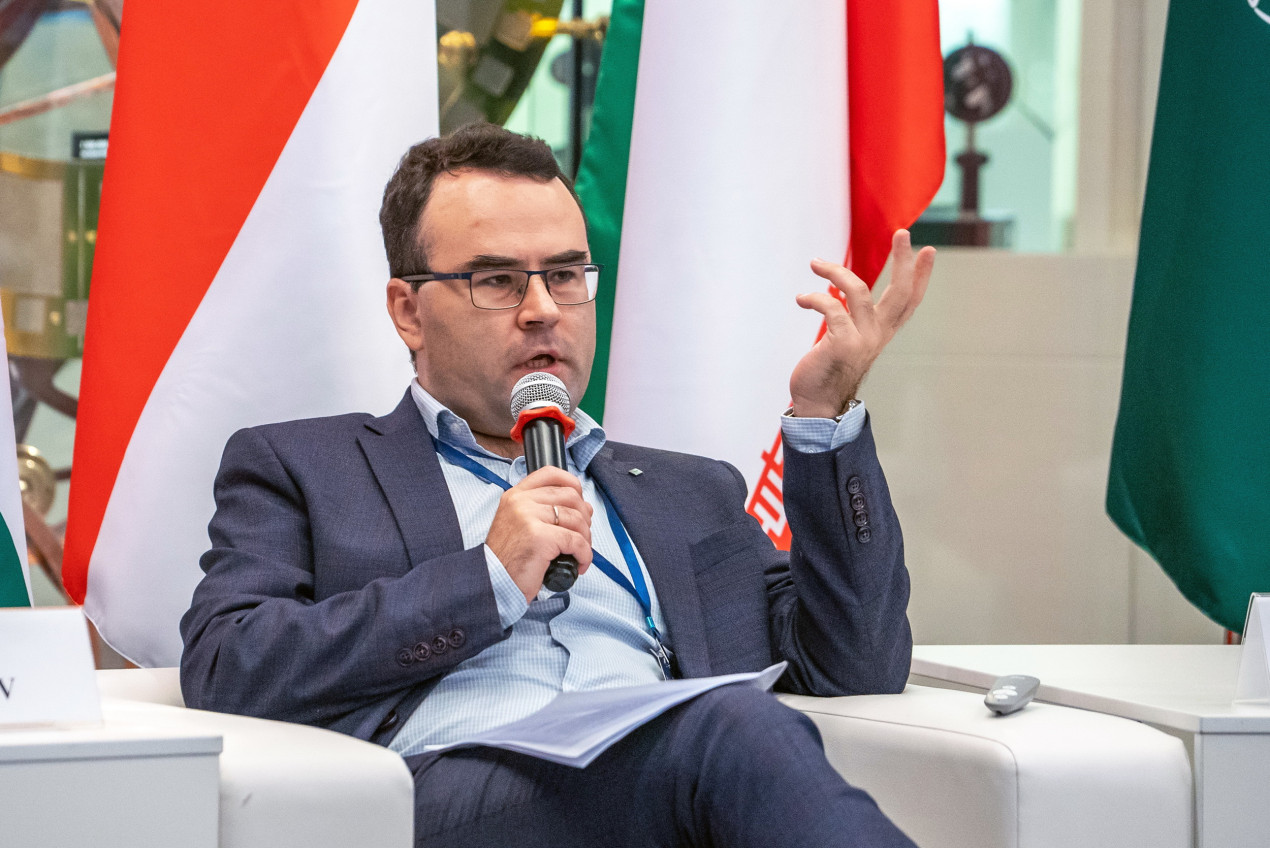
Nikolai Kurichev, Dean of the Faculty of Geography and Geoinformation Technologies at the Higher School of Economics. Photo: Vladimir Neskoromny / press-service of the RGS
The Dean of the School of Geography at Sun Yat-sen University (China) Desheng Xue — incidentally, a former vice-president of the Geographical Society of China — spoke about one interesting aspect of geological training at this university. The foundation of this training is field research and international cooperation.
Since 2004, the university has moved from local expeditions to large-scale international trips to Germany, Canada, Japan, and the Netherlands. According to the speaker, this approach is driven by the globalization of the economy, migration processes, and digital networks, which require geographers to understand transnational and intercultural realities. Students and postgraduate students conduct comparative studies of global cities, migration flows, and creative spaces. This work has already resulted in dozens of successfully defended master’s and PhD dissertations.
It should be noted that Sun Yat-sen University, located in the south of the People’s Republic of China, in the city of Guangzhou (Guangdong Province), is one of the best and, in a certain sense, the most ambitious universities in the country. It is no coincidence that it bears the name of the founder of the Kuomintang party and the first president of the Republic of China. Interestingly, Sun Yat-sen is equally revered both in mainland China and in Taiwan. The university named after him today fully lives up to its status and is well known worldwide, mainly thanks to its programs in business, management, mathematics, physics, chemistry, biology, and medicine. The university has at its disposal the world’s second-fastest supercomputer («Tianhe-2»).
Geographers, apparently, are also keeping up. And as a strategic prospect for developing the idea of uniting BRICS geographers, the university proposes creating a specialized network for the countries participating in the association. Or, alternatively, an international union of geographical expeditions.
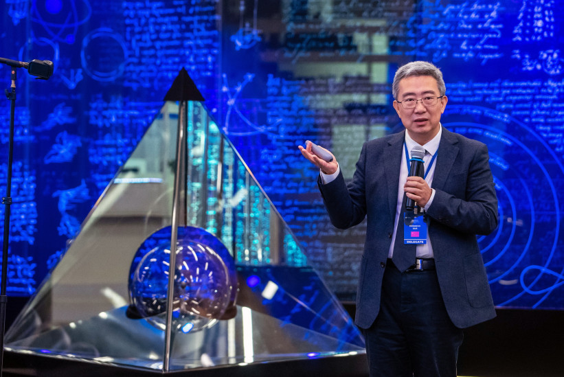
Desheng Xue, Dean of the Department of Geography at Sun Yat-sen University. Photo: Vladimir Neskoromny/press-service of the RGS
And the Geography Department of Nanjing University, founded in 1921, preserves the traditions of complex geography and occupies a leading position in the world (No. 1 in China, 39th place in the QS ranking, leader in the Nature Index).
Huayu Lu spoke about the educational model. It is based on the combination of theory and practice, aimed at developing students’ critical thinking, intercultural communication skills, and adaptability to uncertainty. The faculty’s research activities focus on studying climate evolution, river and marine systems, as well as geopolitical issues related to the South China Sea, and African studies.
The university actively develops international field internships and research projects with partners from Europe, America, Australia, Israel, and African countries. The strategic perspective of the school is to expand the multipolar network of scientific and educational cooperation, including active cooperation within the framework of global initiatives with the BRICS countries.
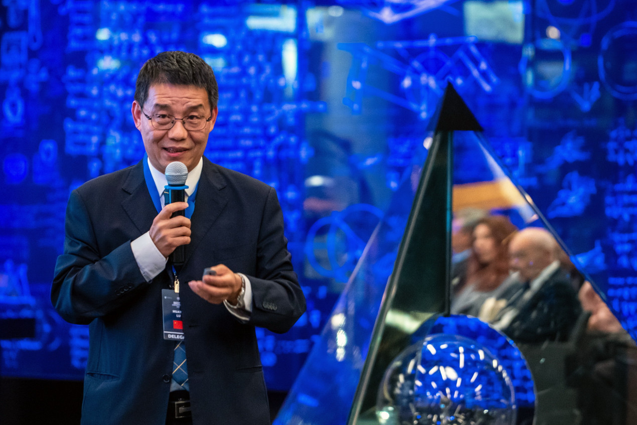
Huayu Lu, professor at Nanjing University. Photo: Vladimir Neskoromny/press-service of the RGS
Artificial intelligence in geography
The participants of the scientific session could not, of course, ignore the fashionable topic. Everyone is talking about artificial generative intelligence, some even draw pictures and make videos, and scientists, like centuries ago, are looking for the truth.
Associate Professor at the Institute of Oceanography, Federal University of Rio Grande (Brazil), Jorge Arigoni-Neto, explained how specialists use AI in glaciology. Monitoring the mass balance of glaciers is critically important for understanding climate change, but traditional field measurement methods are dangerous (the speaker showed a chilling video of a tractor falling through the ice), expensive, and provide sparse data. Artificial intelligence offers an alternative approach to modeling mass balance, overcoming the limitations of physical models (GloGEM, OGGM, PyGEM), which, as it turned out, systematically underestimate or overestimate the accumulation (growth) and ablation (loss) of glaciers. The study used long-term ground-based measurements from 32 calibration and 11 test glaciers.
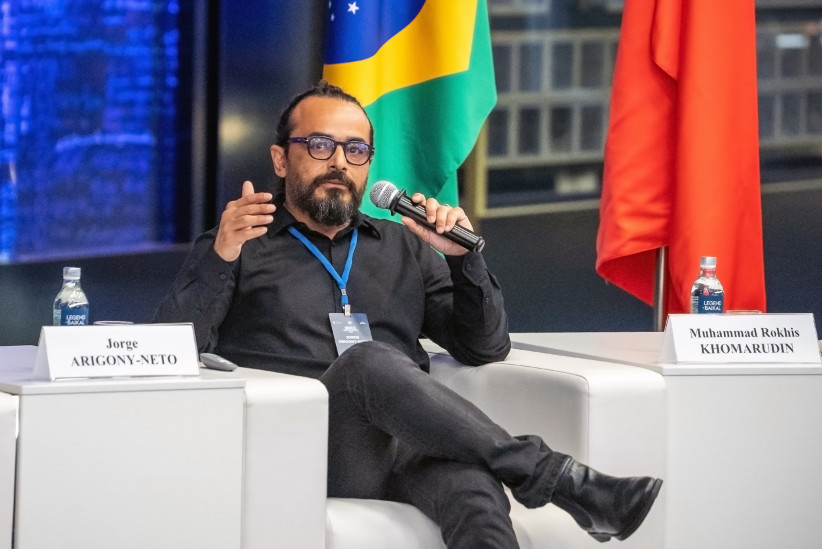
Jorge Arigoni-Neto, Professor at the Institute of Oceanography, Federal University of Rio Grande. Photo: Vladimir Neskoromny / press-service of the RGS
The developed machine learning model demonstrates high accuracy and makes it possible to restore mass balance over long periods. The work was carried out as part of the TROPIPOLAR — GLASCLIM project, involving 15 institutions, including cooperation with the Russian Academy of Sciences.
Remote sensing, GIS, and “What should be done about it?”
Meanwhile, AI is not effective without the availability of source material, or, in other words, facts. In this, scientists are assisted by the long-established remote sensing of the Earth (RS) and geographic information systems (GIS). Satellite information remains the most effective and over time also increasingly accurate way to obtain geoinformation. The robust development of China’s satellite constellation has enabled scientists to expand their capabilities for studying the Earth’s surface.
Xiaotao Chang, an employee at the Land Satellite Remote Sensing Application Center, Ministry of Natural Resources of the People’s Republic of China, demonstrated using the glaciers of the Pamir Highlands how a combination of gravitational (mass changes), radar (height changes), and optical (area changes) satellites makes it possible to carry out comprehensive monitoring of natural objects. The combination of satellite remote sensing and GIS advances geography from answering the questions «Where?» and «Why there?» to answering the questions «What has changed?», «Why has it changed?», and «What should be done about it?».
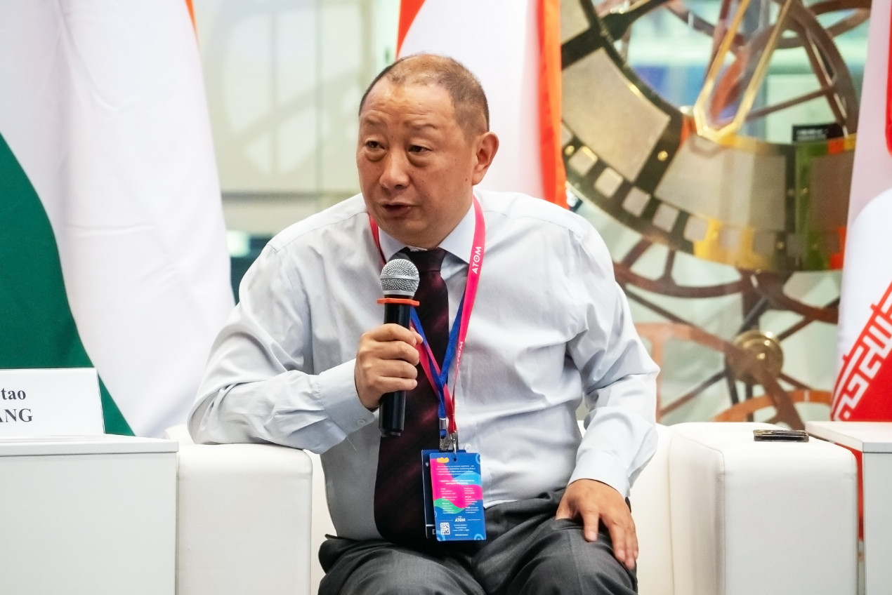
Xiaotao Chang, Researcher at the Land Satellite Remote Sensing Application Center of the Ministry of Natural Resources of the People's Republic of China. Photo: Vladimir Neskoromny / press-service of the RGS
In turn, Russian scientists Yaroslav Lebedev (RUDN University) and Dmitry Kobets (IKI RAS) presented their colleagues with information systems for remote sensing and examples of their practical application in the Arctic zone of Russia.
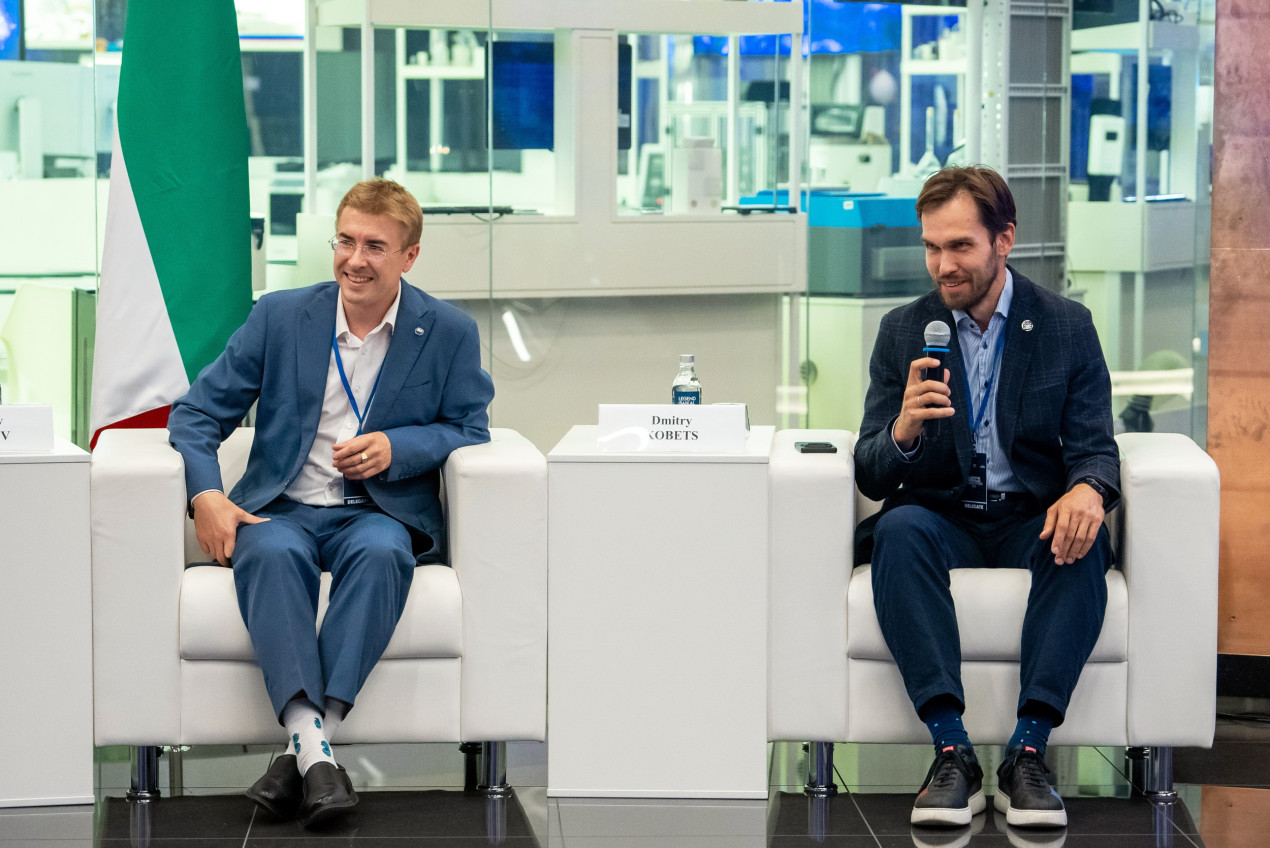
Russian scientists Yaroslav Lebedev and Dmitry Kobets. Photo: Vladimir Neskoromny/press-service of the RGS
The renowned Iranian climate scientist Abbas Mofidi from Ferdowsi University in the city of Mashhad conducted an analysis of the digital transformation of geographical education in the BRICS countries. It is proceeding unevenly due to differences in governance, technologies, and traditions. The study shows that there is no single BRICS model, but different national trajectories open up opportunities for mutual learning. The expert’s conclusion is that BRICS countries need to combine their unique national advantages instead of implementing a single rigid template. Whether such a combination will take place remains to be seen.