
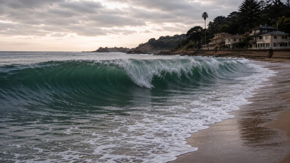
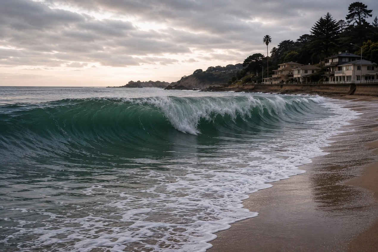
A wave of about 2 m is approaching the shore. The photo was generated using ChatGPT
On the evening of June 24, a double earthquake of magnitude 7.5 occurred on the coast of Venezuela, 160 km from Caracas. According to the US Geological Survey, it has become the strongest in the country since 1900. At the moment, local TV channels report that at least 164 people have been killed and almost 1,000 injured. Almost immediately after this event, tremors of magnitude 7.2 were recorded off the northeastern coast of Japan. On the evening of June 24, an earthquake of magnitude 5.0 also occurred off the eastern coast of Kamchatka. Doctor of Geological and Mineralogical Sciences, Head of the Laboratory of Paleoseismology and Paleogeodynamics at the O. Y. Schmidt Institute of Physics of the Earth of the Russian Academy of Sciences (IF RAS) Andrey Korzhenkov told the RGS whether we should be expecting new disasters and whether the earthquakes in Venezuela and Japan are connected with the natural disaster of 2025 in Kamchatka.
— Andrey Mikhailovich, what caused this earthquake?
— As we know, the earth’s crust consists of lithospheric plates, and powerful earthquakes usually occur on their borders. One of them happened on June 24, 2026, at the junction of the Caribbean and South American plates. The fact is that both plates are moving in the same direction, but at different speeds, so enormous stress accumulates in the area of their contact. Friction at the plate boundary holds back movement for a long time, but at some point energy is released in the form of tremors.
Both earthquake foci, the seismic doublet in Venezuela and Japan, were located at a depth of about ten kilometers, and both tectonic faults came to the surface. Only off the coast of Japan did the rupture reach the surface of the sea floor. As a result, earthquakes of up to 7.5 magnitude (Venezuela) and 7.2 magnitude (Japan) occurred. On the intensity scale, this corresponds to 9–10 points, the level of a catastrophic earthquake.
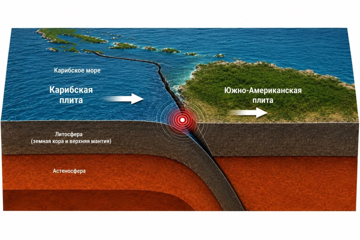
Movement of the Caribbean and South American lithospheric plates. The photo was generated using ChatGPT
— Why was the destruction so severe?
— Let’s take Japan, for which earthquakes are not uncommon. In this country, most buildings are equipped with belts or dampers, and high-rise buildings are designed with the expectation that they will shake periodically. That is why, even at magnitude 7.2, modern buildings often withstand natural disasters without catastrophic damage.
The situation in Venezuela is different. The same technologies are expensive, and the country cannot yet apply them en masse. Government buildings and hotels that are built according to international standards receive enhanced protection. The majority of the buildings in the capital of Caracas are not designed for seismic loads. There are ordinary concrete and brick structures located here, which, when shaken violently, lose their support, crack, tilt, and collapse, which we see now in the reports.
At the same time, the earthquake itself did not come as a surprise to Venezuela — the region has been experiencing similar disasters for centuries. The first was recorded by the Spaniards. It happened here in 1641. In 1812, a devastating event also occurred with a large number of victims (up to 20,000 dead). In 1900, aftershocks of magnitude 7.7 were recorded, followed by an earthquake in 1967. Thus, the strongest earthquakes are repeated in this area about once every 100–200 years.
— Did scientists predict the current earthquake in Venezuela?
— The international scientific community helps to track seismic activity around the world, even though short-term forecasts of strong earthquakes are still impossible. For this purpose, a global network of broadband seismic stations has been deployed, data from which is transmitted telemetrically via satellites to global processing centers. As a result, after the start of the tremors, seismologists know in a couple of minutes anywhere in the world that an earthquake has occurred somewhere.
However, the «behavior» of the lithospheric plates is unique in each case — one zone behaves this way, the other differently. Somewhere, the earth regularly «crackles» with weak tremors, and scientists begin to strain, trying to understand whether this signals the approach of a large-scale catastrophe.
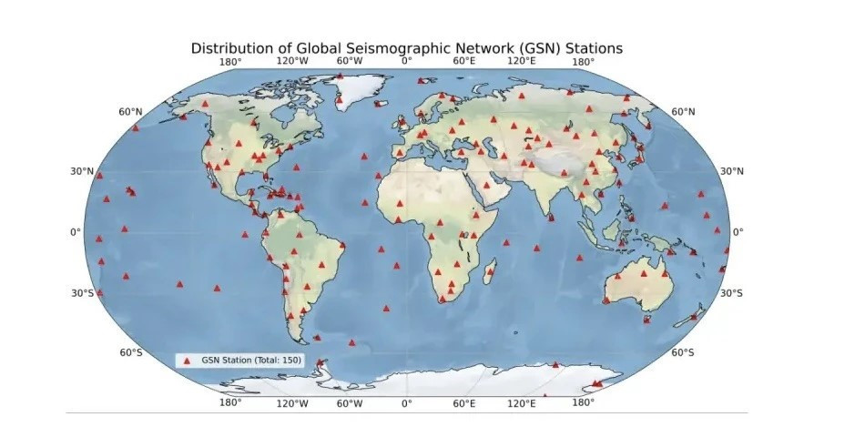
Location of GSN seismic stations. Picture: Gvishiani A.D., Dzeranov B. V., Skorkina A. A., Dzeboev B. A. World seismic networks and earthquake catalogs // Russian Journal of Earth Sciences. — 2024
— Then why can’t this be accounted for?
— To understand, let’s compare seismologists with meteorologists. There are hundreds of meteorological satellites operating around the Earth, which continuously record the atmosphere and make it possible to make full-fledged weather forecasts. Seismologists do not have such direct tools for analysis. There are special research sites in the world. There, scientists measure the compression, tilt, and deformation of the earth’s crust, as well as other parameters. But this is not enough to say exactly where and when the disaster will occur. Let’s take the Tashkent earthquake of 1966 as an example. Shortly before it, the instruments recorded a sharp release of radon. Subsequently, local seismologists took this as a sign of an impending earthquake and suggested that a method of disaster forecasting had now appeared. Then another and another thing happened, but there was no preliminary release of radon.
— Could the earthquake in Venezuela be related to the Kamchatka earthquake in 2025?
— No, there is no connection between them. They occurred in completely different tectonic zones. The Kamchatka earthquake, like the Japan one, occurred on the border of the Pacific lithospheric plate — in the so-called Pacific Ring of Fire, where tremors occur constantly. The Venezuela earthquake was caused by the movement of the earth’s crust at the junction of the Caribbean and South American plates — this is a completely different region. It is a coincidence that the earthquakes in Japan and Venezuela occurred almost simultaneously. For Kamchatka and Japan, seismic activity is common, while for Venezuela such a strong event is much rarer.
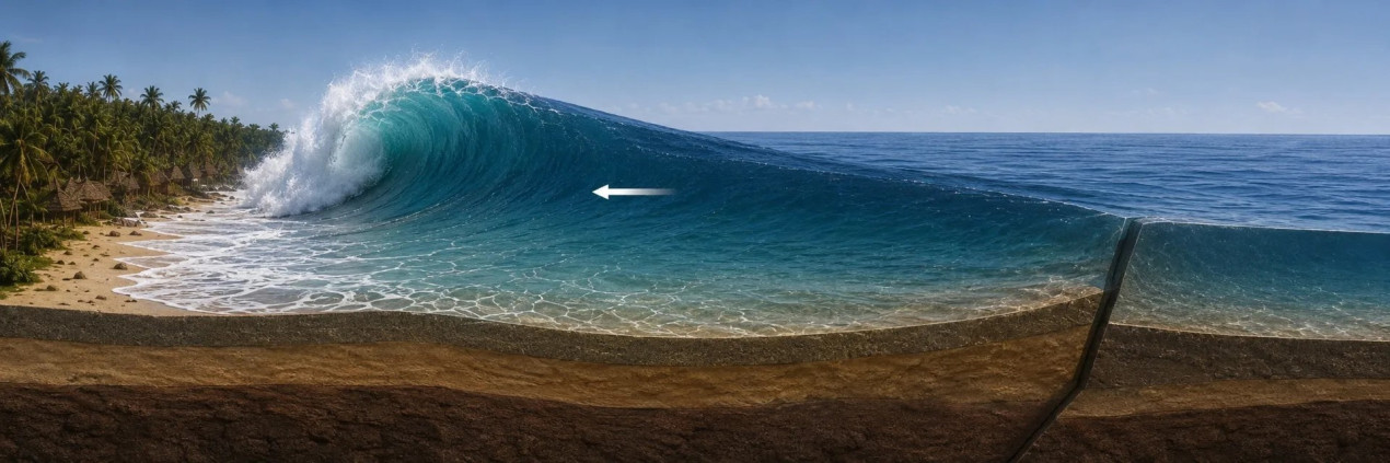
This is how a vertical ledge that causes a strong wave is formed. The photo was generated using ChatGPT
— Will there be a tsunami off the coast of Venezuela in the near future?
— A doublet of earthquakes with a magnitude up to 7.5 occurred near the sea coast. Due to the movement of the plates, a vertical ledge several meters high was formed on the surface. This ledge also led to a sudden ejection of a huge volume of water. In the open sea, such a shift is almost imperceptible. But as it approaches the shore, the depth decreases, the wave slows down, its crest shrinks, and sharply grows in height. That’s when it hits the land in a powerful torrent.
Since the earthquake did not rupture the bottom surface, the tsunami mechanism did not work in full force. Now we can say: yes, the waves approached the shore, but they were not strong. According to preliminary estimates, in some parts of the coast, the water rose 1–2 m above the usual level.
— What other consequences will there be?
— The main consequences are that the plates have taken a new position. Aftershocks after such a powerful earthquake will be felt for several months, and possibly even longer. The reason is not only the large magnitude, but also the fact that the event occurred in the form of a seismic doublet: two strong shocks superimposed on each other and together increased the displacement in the fault zone, which requires a long time to adjust the lithospheric plates to their new position.
*According to TASS information for July 1, the number of earthquake victims in Venezuela exceeded 2,000. The Chairman of the National Assembly of the Bolivarian Republic, Jorge Rodriguez, said that 2,295 people were killed.