

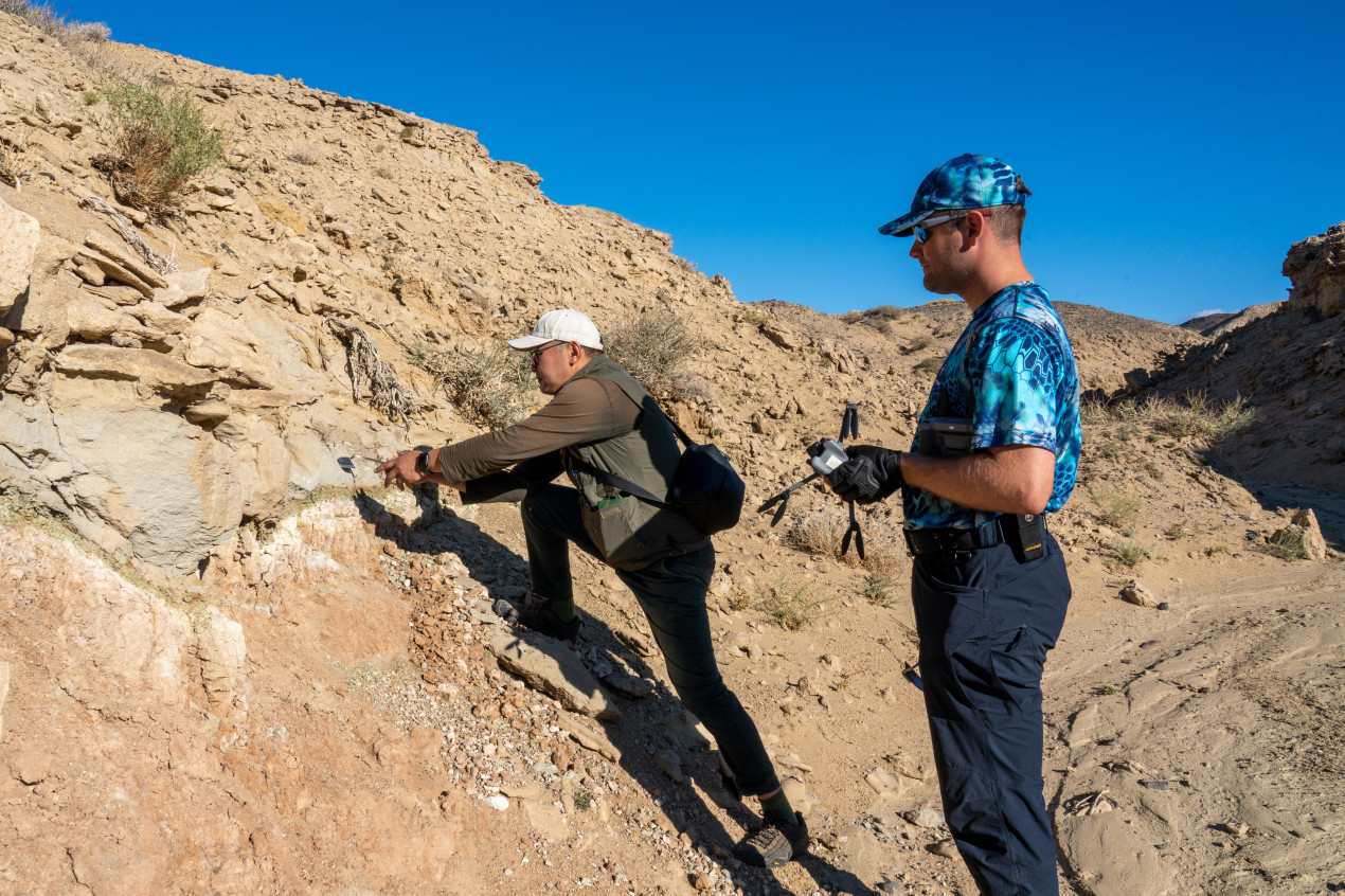
During the expedition, Russian and Mongolian scientists worked together. Photo: Vladimir Neskoromny / press-service of the RSG
The second stage of reconnaissance studies along the Kuragino–Ürümqi route was completed in Western Mongolia. Scientists analyzed the terrain along the section from Arts-Sur — Ulaangom — Khovd — Burenkhairkhan to assess the feasibility of building a new railway — potentially the shortest overland route for trade between Russia, Mongolia, and China. The expedition is being conducted with the support of the «Volnoe Delo» foundation, which was founded by entrepreneur Oleg Deripaska.
The Mongolian stage of the expedition took place from August 25 to September 5. Scientists conducted 3D mapping of the area, geodetic work, and studied traces of tectonic activity, the relief, and the diversity of the plant and animal world. In the most challenging areas — two gorges, on landslide slopes, and along cliffs — specialists carried out ground-based laser scanning. Based on these data, the expedition participants will build digital models of complex terrain sections, which will be used by designers to model options for constructing railway infrastructure. All the obtained data are uploaded to the RGS Geoinformation System.
«The host country’s specialists told the expedition participants that Mongolia plans to increase coal exports to China to 10 million tons per year — currently, 4 million tons are transported via this route by road. The construction of the railway will technically allow for large volumes to be sold,» said the scientific director of the expedition, Associate Professor at the Department of Railway Track and Track Facilities, Institute of Track, Construction and Structures, Russian University of Transport (RUT MIIT) Andrey Zaitsev. «At meetings in the Khovd aimag, experts discussed what goods can be transported by rail, where to set up train service stations, and how the road will affect the economy, tourism, and the way of life of local residents.»
Surveyors measured the relief of the valleys of the Tes-Khem and Khovd Rivers to select locations for building bridges, while geologists found that sands, pebbles, and rock formations predominate in the studied area — these are well suited for constructing embankments. Based on the results of the Mongolian part of the expedition, the scientists outlined possible routes for the future railway: from Kyzyl along the Yenisei River through the settlements of Shagonar and Chadan.
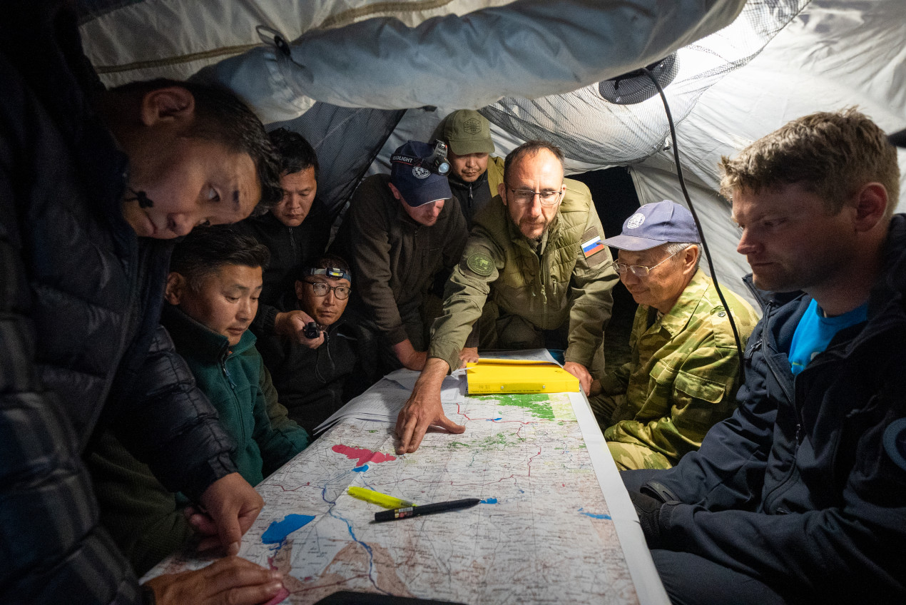
The expedition’s objective was to assess the feasibility of building a new railway. Photo: Vladimir Neskoromny / press-service of the RGS
«Scientists from the Institute of Geography and Geoecology of the Mongolian Academy of Sciences (MAS) took part in the expedition, » notes Battogtokh Dorjgotov, president of the Mongolian Geographical Society (MGS). «The MGS has been working with the Russian Academy of Sciences for many years. This has allowed us to accumulate rich experience. We have been studying industrial geography for a long time. A team of scientists from seven academic institutions in the country participated in the implementation of a major expedition project along the route of the transit gas pipeline 'Soyuz Vostok’ — the Mongolian section of the 'Power of Siberia 2’ pipeline.» Therefore, it can be stated that our specialists possess the necessary experience in conducting research prior to the implementation of large-scale infrastructure projects.»
A separate area of work is seismology. Scientists have studied 50 sites: ancient faults and archaeological monuments. In 1905, a series of earthquakes with an intensity of 10–11 points at the epicenter occurred near the Khangai Mountains, in the territory of the modern Tsetserleg sum. One hundred and twenty years later, changes in the riverbed, subsidence, ditches, and elements of vibrational deformations are clearly visible here.
«Since the railway line will pass through a seismically active zone, it is important to use modern engineering solutions and technologies in the design and construction, ” noted Andrey Strelnikov, head of the seismological team at the Institute of Physics of the Earth (IPE) of the Russian Academy of Sciences.
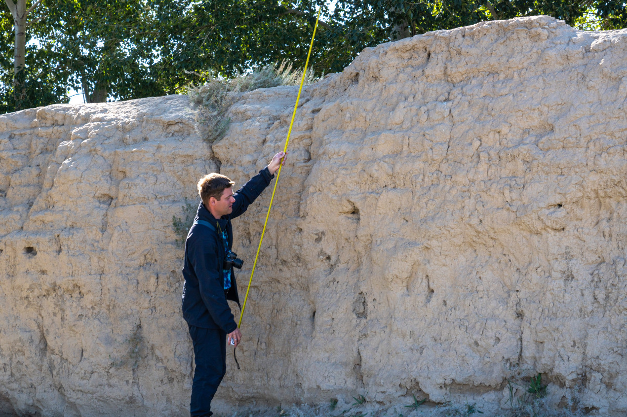
Seismological studies. Photo: Vladimir Neskoromny / press-service of the RGS
According to scientists, an earthquake occurred on the northern shore of Khyargas Lake 20,000 years ago, causing a section of the ancient lakebed to rise to the surface. Seven groups of archaeological sites — funerary structures in the form of stelae —were discovered at the Bodonch Pass.
Biologists conducted counts of birds and mammals at lakes along the route, as well as in the vicinity of the cities of Ulaangom and Khovd. The scientists identified species listed in Mongolia’s Red Book, including the bar-headed goose, whooper swan, steppe eagle, eastern imperial eagle, greater spotted eagle, golden eagle, cinereous vulture, saker falcon, lesser kestrel, common crane, pied avocet, and Pallas’s sandgrouse.
«The main preliminary conclusion reached by the specialists is that the technical feasibility of constructing a railway line along the Russia–Western Mongolia–China route has been confirmed,» noted Natalya Belyakova, Director of the Expeditionary Activities and Research Department. «This paves the way for the creation of a new transit corridor that could strengthen foreign economic ties. The next step is the office work phase: data processing, laboratory analysis of samples, a feasibility study, and the preparation of proposals for further research.»
The project is being carried out by specialists from RUT (MIIT), the IPE RAS, Lomonosov MSU, the Siberian Fire and Rescue Academy of the EMERCOM of Russia, the Water Problems Institute of the RAS, and Buryat State University. Key partners on the Mongolian side include the Mongolian Geographical Society and the Institute of Geography and Geoecology of the Mongolian Academy of Sciences. The expedition’s technology partners are «PSK Tekhproekt» and «Laboratoriya Ekspertiz».