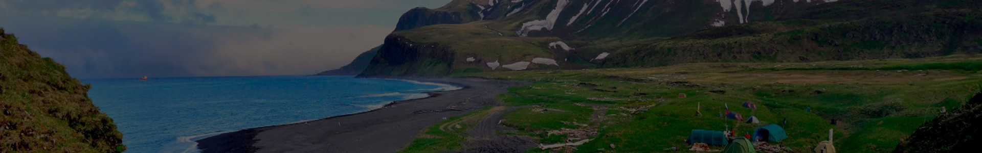

The Russian Geographical Society and the specialists from the company “Fertoing” are conducting aerial laser scanning of Matua Island of the Greater Kuril Ridge to create a 3D model of the geographical object. In total, 55 square kilometers of the island need to be scanned. At the moment, a third has been examined.
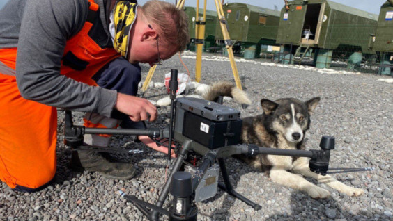
Due to unpredictable weather conditions and the difficult terrain of the island, an industrial-class UAV was chosen for the flights.
“Flying a quadcopter is long, but reliable,” said Vladimir Katasonov, head of the remote sensing sector of the company “Fertoing”. “Its disadvantage in the form of a short flight duration in our case is an advantage, since we can point-select flight zones in relatively favorable weather conditions and monitor them in real time.”
At work. Photo: press service of the Ludi Morya Foundation (eng. People of the Sea Foundation)
During the month of their stay on Matua, the specialists carried out work on the survey and refinement of the geodetic reference network, developed a special network of points and high-altitude survey stations for linking and monitoring aerial laser scanning data, carried out 26 flight missions, and filmed 17 square kilometers of the total area of the island.
A special LIDAR scanning system is installed on the quadcopter, which consists of a laser scanner, a camera, an inertial measurement unit, and a satellite receiver. This system allows you to capture every meter of the island with high accuracy.
The work on the study of the surface of the island of Matua, which is of great scientific and historical value, is carried out as part of a joint expedition of the RGS, the Ludi Morya Foundation, and the Hydrographic Service of the Pacific Fleet of the Russian Navy. Based on the data obtained, a digital terrain model, an orthophoto, and a 3D model of the island will be created. It will be added to the database of the interactive GIS portal "Rossiya – ot morya do morya" (eng. “Russia: From Sea to Sea”) and will allow scientists to explore the location remotely from anywhere in the world where there is Internet. The digital copy will also help to simulate disasters and track the dynamics of landscape changes – in fact, the island is part of the active Sarychev volcano.