A joint topographic and geodetic expedition of the Russian Geographical Society, the Ludi Morya Foundation (eng. People of the Sea Foundation), and the Hydrographic Service of the Pacific Fleet has begun on the Kuril Islands. The goal is to create a digital terrain model and orthophoto of Matua Island.
The expedition members arrived on the island aboard the hydrographic vessel of the Pacific Fleet "Aleksandr Rogotsky". For two months, the specialists from the marine engineering company “Fertoing” will be conducting a topogeodesic study of the island, taking aerial photos using laser LiDAR scanning technology, and creating a digital three-dimensional map of it. The digital data obtained after processing will be published on the GIS portal “Rossiya – ot morya do morya” (eng. “Russia: From Sea to Sea”) and will help Russian scientists and researchers in further work on the study of Matua.
“The RGS systematically works with partners to preserve data and obtain new information about geographical, historical, and cultural sites in Russia using innovative methods,” said Natalya Belyakova, Director of the Expeditionary and Tourism Development Department of the RGS. “The logical result of this work was the creation and development of a single open information space on the Internet. This information will help young people to more clearly understand the scale and uniqueness of the history of our homeland.”
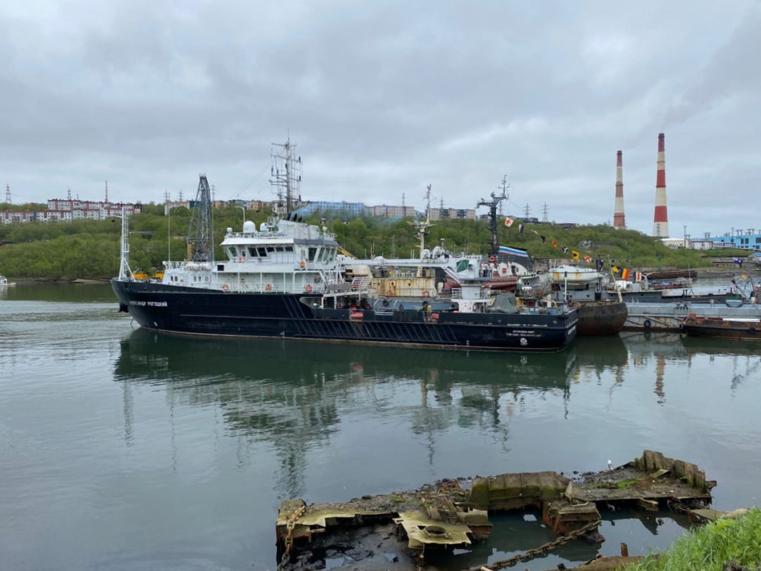
Hydrographic vessel of the Pacific Fleet "Aleksandr Rogotsky". Photo: press service of the Ludi Morya Foundation
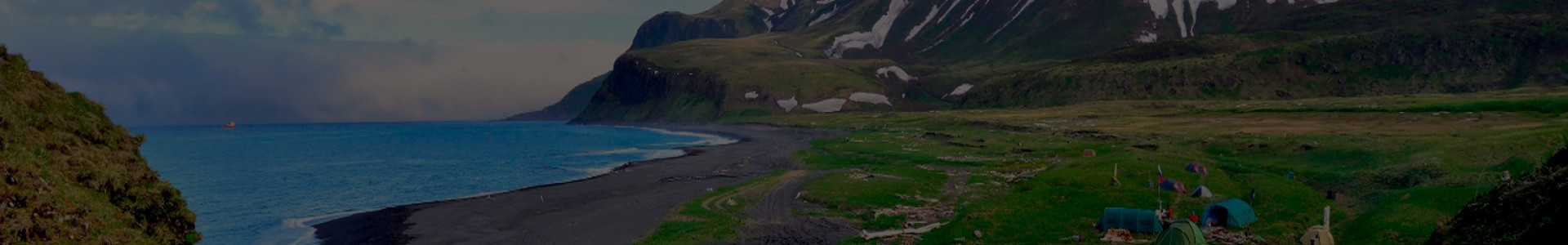
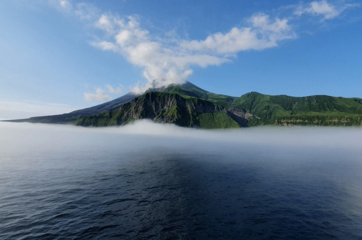
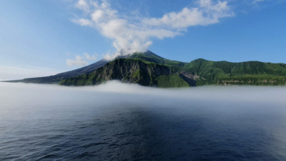
Matua is of volcanic origin; it is home to the active Sarychev volcano. The elevation difference on the island reaches 1.5 km which makes it difficult to survey it. For Russian scientists, Matua is interesting not only from the point of view of volcanology and geology but also for its rich military history. For several decades of the 20th century, the island was home to a large Japanese naval base and fortress which surrendered to Soviet troops in 1945. In 2016-2017, the RGS, together with the Pacific Fleet, conducted two comprehensive expeditions on Matua, during which 97 objects of the island's infrastructure were explored. Those are the remnants of military structures located in the coastal and plain areas: bunkers, lookout posts, rangefinder posts, artillery and machine-gun pillboxes.