
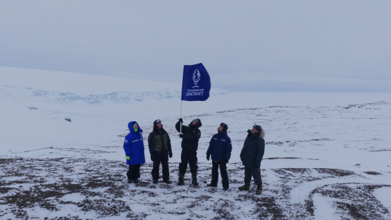
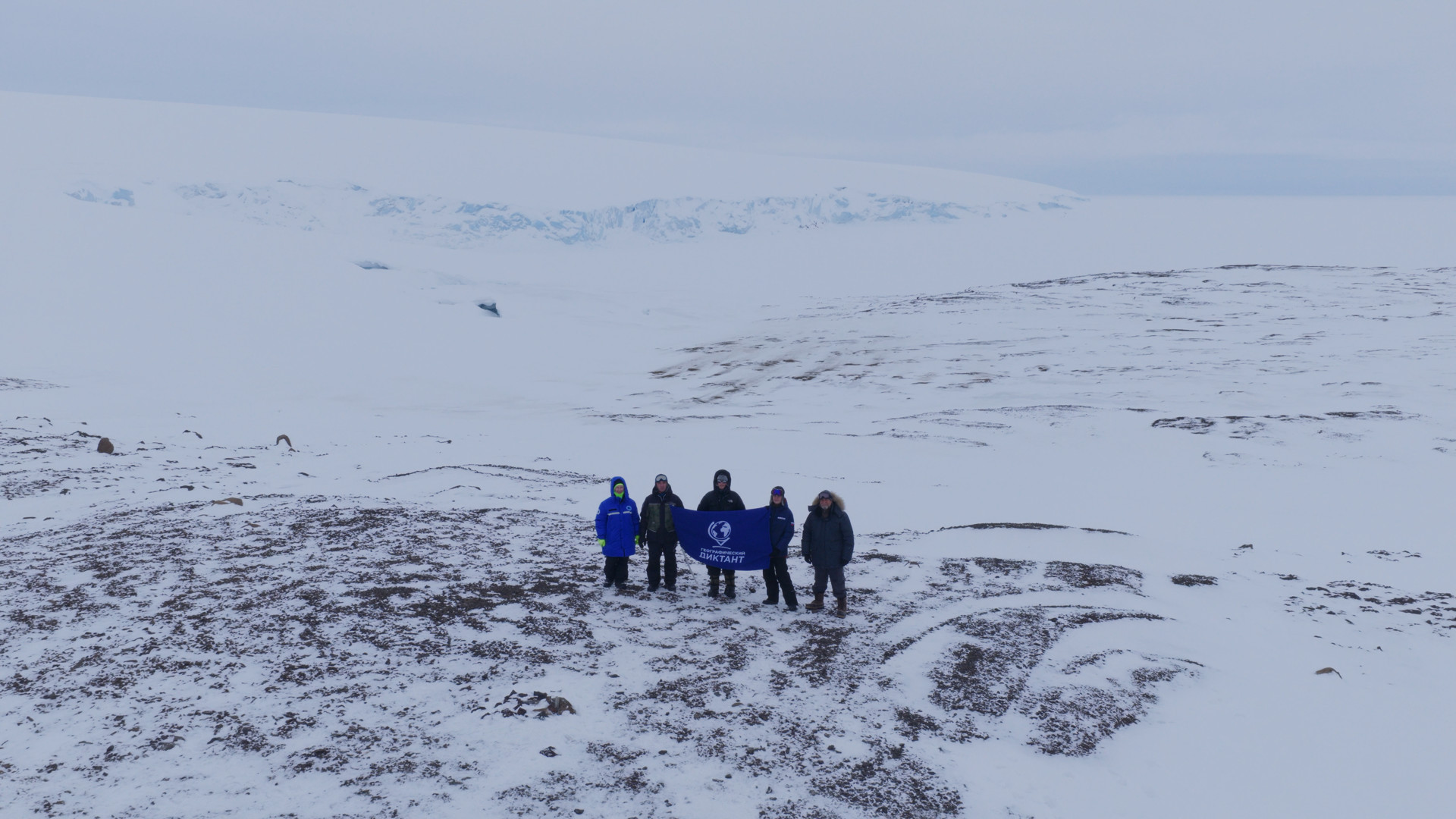
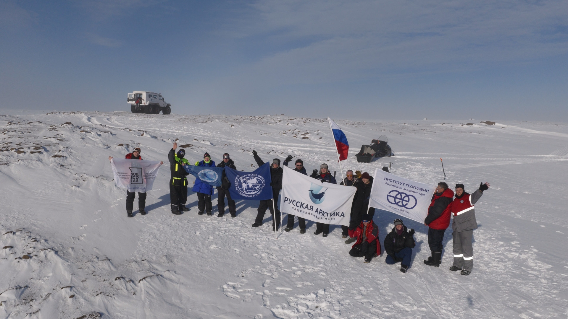
On the 80th parallel, among glaciers and Arctic mists, the members of the expedition of the Russian Geographical Society unfurled the flag of the international educational campaign «Geographical Dictation» for the first time. The symbol of one of the largest educational projects of the RGS was delivered to the Franz Josef Land archipelago, one of the harshest and most inaccessible regions of the Russian Arctic.
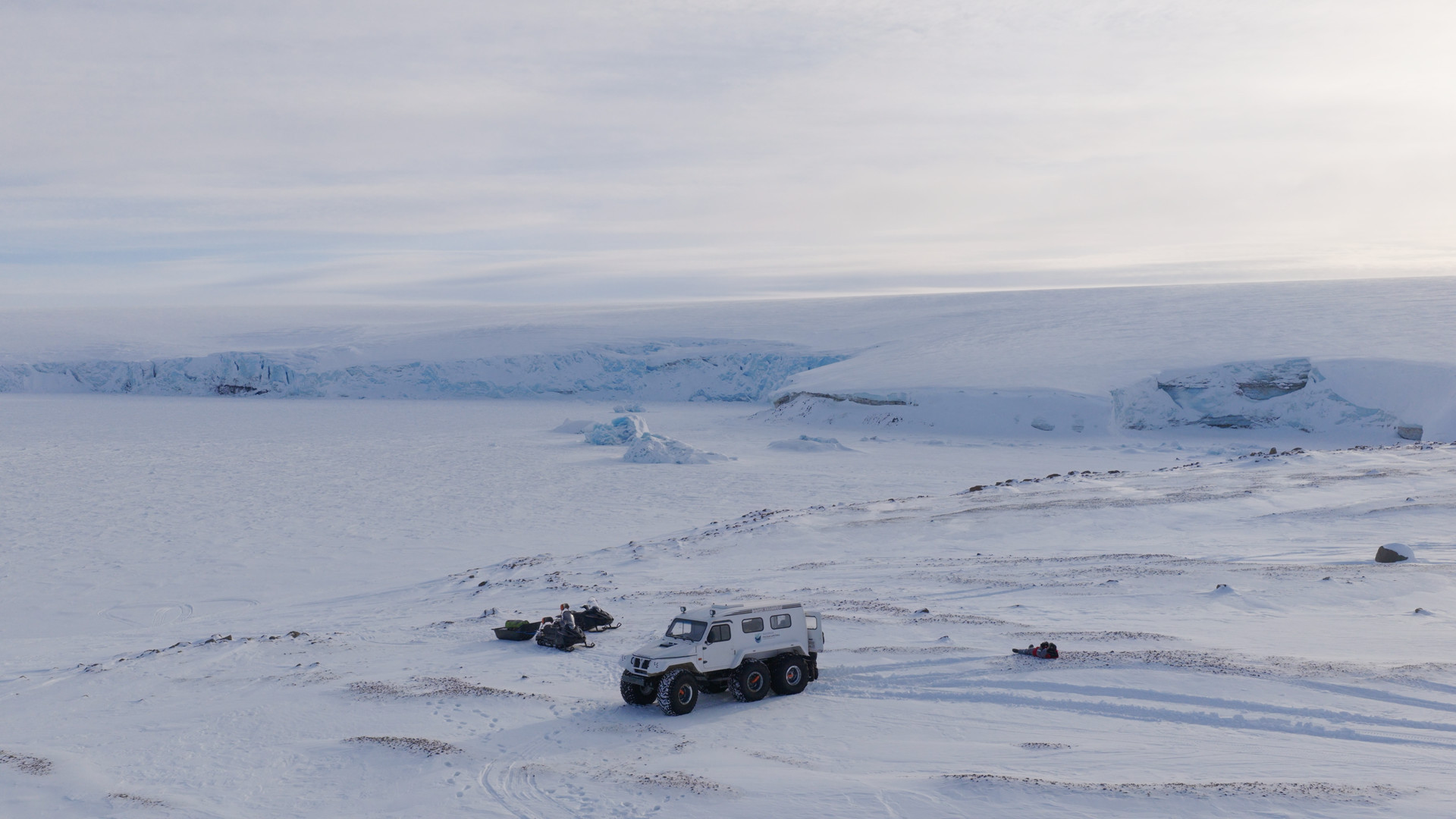
The spring stage of the high-latitude complex expedition has become a landmark for the Geographical Dictation. Alexandra Land is now the northernmost point of the project’s presence. It turned out to be difficult to unfurl the flag among the ice and snow slopes: at the time of shooting, a strong Arctic wind was blowing on the coast, which made it necessary to literally hold the banner with the campaign symbol in place. The memorable photos were taken against the background of the glacial domes of Lunny and Kropotkin, where large-scale scientific research of the RGS is currently underway.
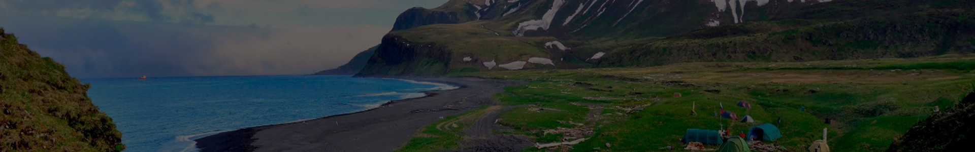
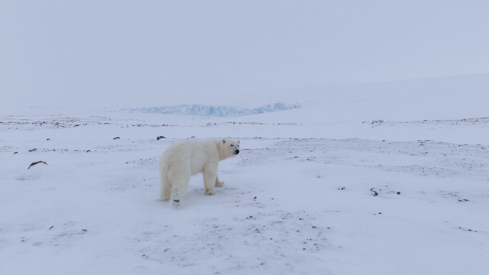
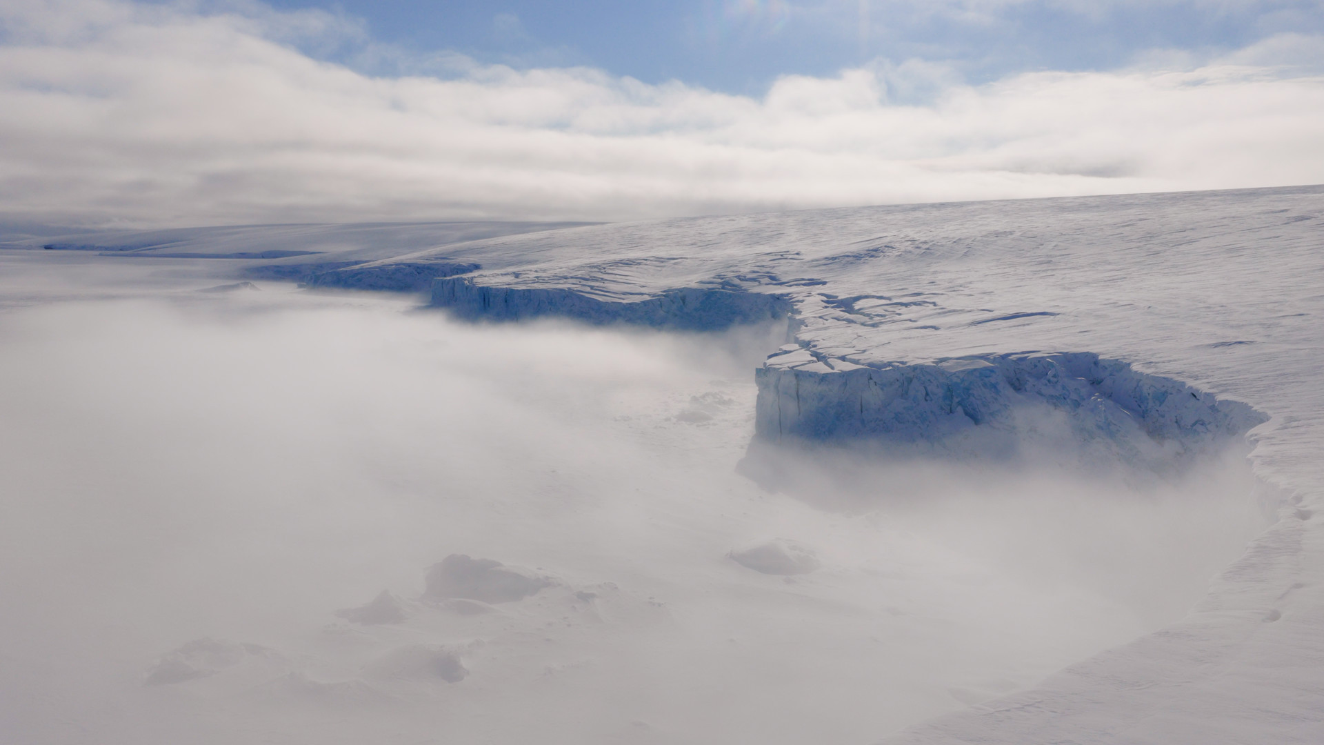
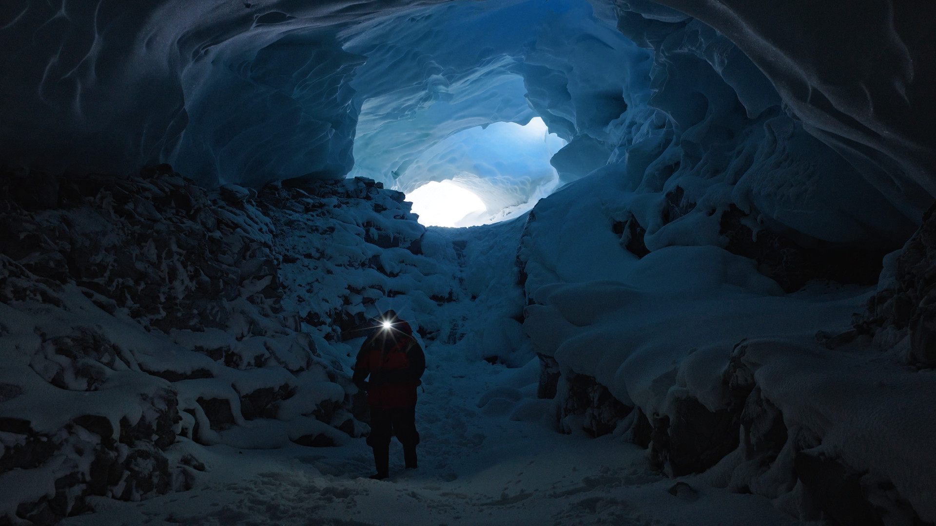
Franz Josef Land is an archipelago in the Arctic Ocean, consisting of almost 200 islands. Most of its territory is hidden under an ice shell, and many islands remain inaccessible most of the year. Here, glaciers descend directly to the sea, icebergs drift along the coast, and the Arctic landscapes, according to the expedition participants, resemble «a real castle of the Snow Queen».
Today, Franz Josef Land is considered one of the key territories for studying climate change in the Arctic. The spring stage of the expedition brought together seven scientific fields at once, the work was carried out simultaneously at sea, on land, and in the air. Scientists from leading Russian scientific organizations: the Institute of Geography of the RAS, the Institute of Space Research of the RAS, VNIRO, and RUDN University studied climate changes in the northern latitudes, which, according to researchers, are warming faster than many other regions of the planet.
«One of the tasks of Russian Arctic National Park is environmental education. In this context, the Geographical Dictation is a tool that can be used to inform people about the remote but strategically important Arctic archipelagos. Thanks to the Geographical Dictation, objective scientific data on the Russian Arctic is becoming part of the educational agenda, which helps to overcome information gaps and popularize geographical science,» said Aleksandr Kirilov, Director of Russian Arctic National Park.
Natalya Belyakova, Director of the Expeditionary Activities and Research Department of the RGS, emphasized that the scientific activity of the Russian Geographical Society on the archipelago has a deep continuity. The appearance of the Geographical Dictation flag in this northern territory has shown that the educational projects of the RGS go far beyond the traditional event venues. The Dictation is taken both at central and regional venues, and in the most unusual places — at scientific stations, on ships, in nature reserves, and during expeditions of the RGS.
Today, the Geographical Dictation is one of the largest educational projects of the Russian Geographical Society, which unites participants from Russia and 139 foreign countries. Traditionally, the Dictation assignments are created by the winners of the «Write Your Question for the Geographical Dictation» contest. Applications for the international competition of the RGS are accepted until June 15, 2026.
Detailed information about the competition and the rules of participation are published on the official website of the Geographical Dictation.