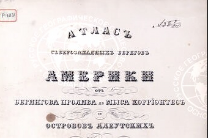
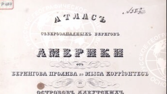
“Atlas of the Northwest Coasts of America: from Bering Strait to Cape Corrientes and the Aleutian Islands”, published in 1852 and compiled by Vice Admiral Mikhail Tebenkov, was posted on the Geoportal. It contains information about the position of the coastline, types of coasts, coastal topography and vegetation, as well as the depths of some coastal sections.
Mikhail Tebenkov had been compiling the atlas for over 20 years. Since 1825, he served in the Russian-American Company, and in 1845 he became its director and governor of the Russian colonies in North America.
During his service, he collected a variety of materials about the northwest coast of North America. They were based both on personal experience of visiting the Aleutian Islands, the coast of California and the Bering Strait, as well as on the information obtained from expeditions, previously compiled maps, information from ship logbooks and information from the coast surveys from local residents. Tebenkov did a tremendous amount of work summarizing these disparate materials, identifying truthful information and compiling summary sheets of maps.
Карта северных проливов северо-восточного берега Америки
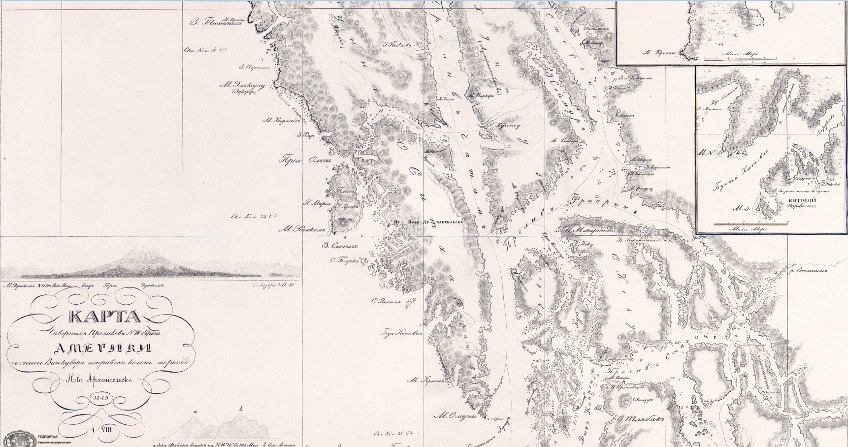
The atlas contains 38 maps. Of these, 21 maps relate to the northwestern shores of America; 10 maps relate to the Aleutian and Commander Islands and Alaska; 7 maps relate to the east coast of Asia and the Kuril Islands. In addition, there are 48 private plans and maps, as well as views of the coasts.
A characteristic feature of the maps of the atlas is that the vast majority of them are based on the results of geographical studies of local sailors serving in the Russian-American Company. This fact gives a special meaning to the reliability and accuracy of the maps and plans placed in the atlas by Tebenkov. The regions of the northern coast of the Sea of Okhotsk and parts of the coast from Anadyr Bay to Cape Olyutorskiy are mapped worse than others. Paying tribute to his time, Tebenkov showed Sakhalin as a peninsula. It is also worth noting the large number of astronomical points on which the maps of the atlas are based (there are 426 of them), with the indication of the seafarers who identified each of them.
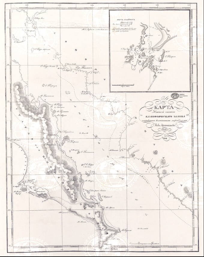
XVII. Карта южной части полуо-ва Калифорнии
The need to compile this atlas was caused by the fact that despite vigorous commercial activity in this region, there were not enough detailed cartographic materials summarizing information about the entire northern part of the Pacific Ocean.
In remarks on the atlas, Tebenkov wrote, “I did not consider it necessary to dwell upon the description of those places about which sufficient information has already been made public in the original or in translation; my main task is to mathematically determine the place; and I have provided descriptions for myself only when there were none at all, when they were not available in Russian, when they complemented the already published work, or if they were borrowed from personal observations and information stored in piles of logbooks. "
Contemporaries praised the quality of the compiled atlas. In 1865, Tebenkov was awarded the Demidov Prize from the Academy of Sciences. Nicholas I granted Mikhail Dmitrievich a diamond ring, and the Swedish king - the Order of the Sword. Pavel Ivanovich Kruzenshtern noted that Tebenkov’s atlas could be called almost the only guide for sailing in that region. Even 65 years later, the “Catalog of maps issued for ships” (issued as a guide to navigation in 1916) contained maps from the Tebenkov atlas.
Nowadays, “Atlas of the Northwest Coasts of America: from Bering Strait to Cape Corrientes and the Aleutian Islands” is perceived as a historical monument about Russian America. It provides information on the state of knowledge on the territories of the Russian colonies in North America, their development and toponyms of that time.
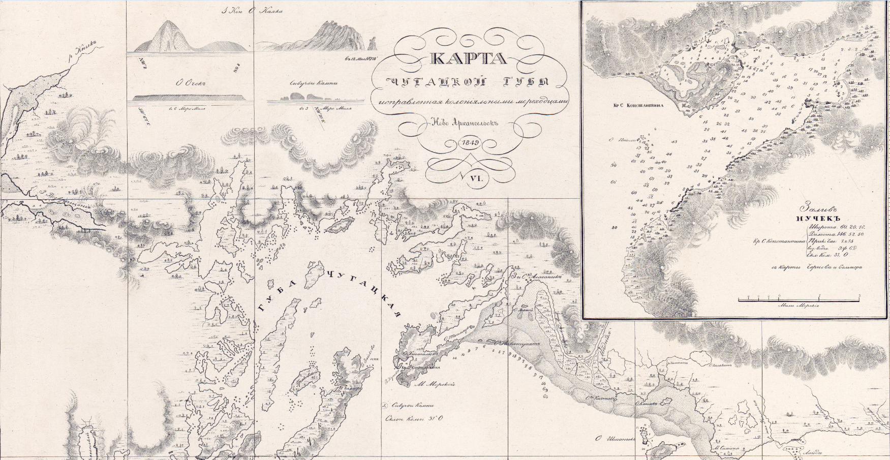
Карта залива Чугацкого
Mikhail Dmitrievich Tebenkov (1802–1872) - Vice Admiral, Hydrographer, Governor of Russian America from 1845 to 1850.
In the years 1825-1839 he served in the Russian-American Company. Since 1826, as a lieutenant, he was sailing off the coast of Russian America and in the Pacific Ocean, commanding various brigs. In 1829-1831, Tebenkov had been conducting a survey of Norton Sound and the Alexander Archipelago. Through Siberia, he returned to St. Petersburg and in 1835-1836, commanding the ship "Elena", traveled from Kronstadt to Russian America around Cape Horn. In 1837, Tebenkov was promoted to lieutenant commander. Later, through Okhotsk and Siberia, he returned to Petersburg, thus completing a trip around the world. In the years 1840-1843 Tebenkov was in the civil service. In 1844 he returned to the fleet; he was appointed the Governor of Russian America and promoted to captain of the 2nd rank, and in 1848 - to captain of the 1st rank. During his time as the Governor of Russian America (1845–1850), he organized a series of expeditions to survey its coasts, islands in the Gulf of Alaska, and all groups of the Aleutian Islands. In 1856, with the rank of Rear Admiral, he was appointed director of the Shipbuilding Department of the Ministry of the Navy, where he served until his death.
In honor of the admiral, a volcano was named on the island of Iturup (Tebenkov volcano).
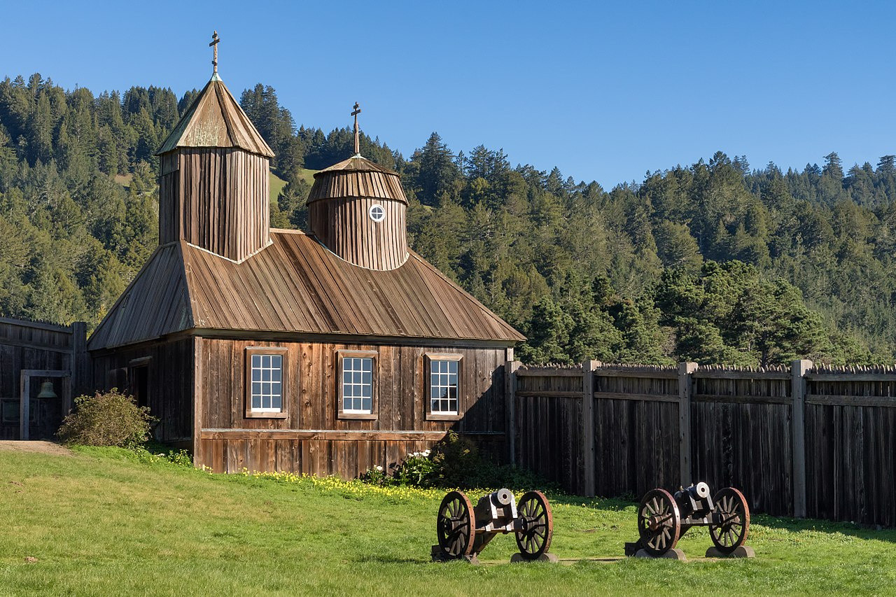
Форт Росс. Фото: wikipedia.org
In 1854-1856, the leadership of the United States on the flagship “Vincennes”, the steamer “John Hancock”, and the schooner “Fenimore Cooper”, went on a large hydrographic expedition of the US Navy to survey the northern waters of the Pacific Ocean. The maps of the American hydrographic expedition, compiled according to its results, did not possess particularly new or accurate data. Compared to contemporary Russian manuscripts and published materials, they advanced the hydrographic knowledge of the northern part of the Pacific Ocean insignificantly. According to the correspondence of the future head of the United States Coast Survey, George Davidson, the atlas and hydrographic descriptions of Tebenkov fell into possession of the Coast Survey the following year after Lieutenant J. Rogers' expedition. In the following decades, it was the Russian maps that were used by American sailors when navigating in the waters of the Pacific Ocean.